Mount Rainier NP

mora-16

In September, we took a vacation up to the Seattle area and, of course, hit up some of the area’s National Parks. Glacier-covered Mount Rainier is the highest mountain in Washington (and an active volcano!). Even though we were there over Labor Day weekend, we still managed to get a room in the park for Sunday night, so off we went!
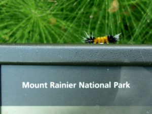
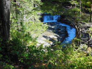
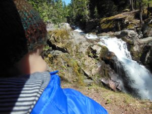
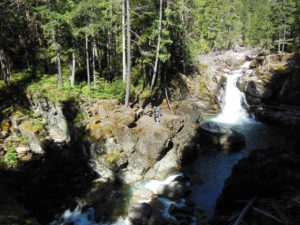
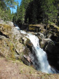
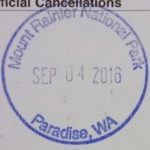
mora-24On Saturday, we drove down to Mt. St. Helens National Monument (managed by the U.S. Forest Service) and started our volcano viewing. Although Mt. St. Helens and Mt. Rainier don’t look too far on the map (and both are ~2-3 hours from Seattle), it takes some time to get between them as each mountain is quite a ways off I-5 and there’s no direct connector. However, it gave us a good opportunity to approach via the southern Stevens Canyon entrance station. The plan was to get a passport cancellation at the Ohanapecosh Visitor’s Center, but I didn’t realize that it was in the campground before the entrance station. By the time I realized my mistake, we didn’t feel like driving back out of the park – oh well. We did stop just inside the entrance to hike down to Silver Falls. This was a lovely little hike to a waterfall that even in September was still going pretty strong. We took the intermediate approach from the Grove of the Patriarchs trailhead (0.5-0.6 mi), but the falls can also be accessed via shorter or longer hike from Rte 123 or the campground.

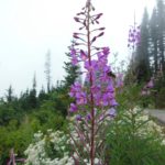
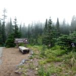
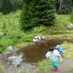
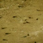
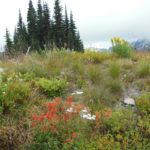
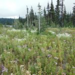
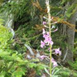
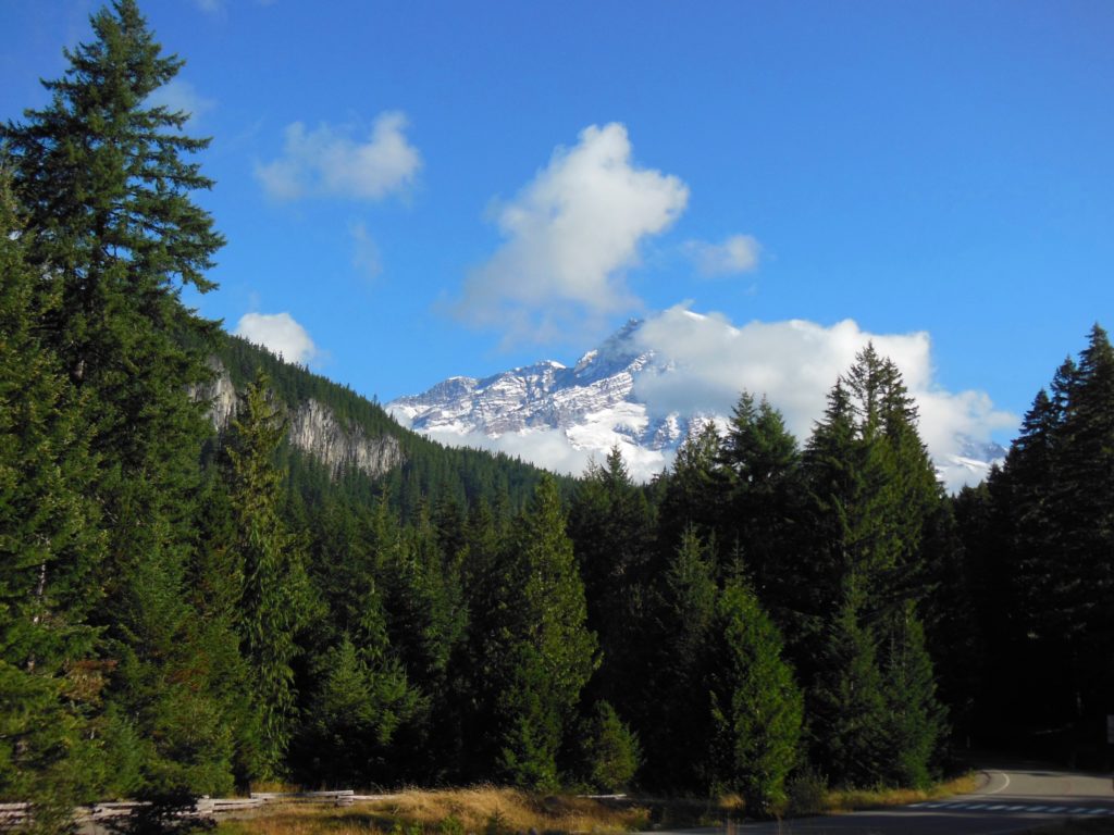
After hiking down to the falls and back, we continued on to Paradise. We managed to get a few glimpses of the mountain on the road, but by the time we reached Reflection Lake for a photo op, the clouds had moved in. Once at Paradise, we had to take one big loop before finding parking (but don’t worry, the NPS is currently paving Paradise to put up a parking lot – or at least improve one), and more and more fog had moved in in the meantime. We had the dilemma of whether to hike to Myrtle Falls or take the Nisqually Vista Trail in spite of the clouds and fog. We decided to take our chances with the vista, thinking the clouds might clear, and if not, we still would get a nice walk. Well, it turned out to be the latter, but we still had an enjoyable walk through the subalpine trees and meadows, where we even were treated to some straggler spring/summer blooms and saw a pond full of tadpoles!

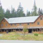
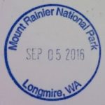
That night, we stayed in the National Park Inn in the Longmire Historic District. The cozy inn was your typical national park lodge, with a mix of rooms with and without bathrooms (ours ended up being shower only, so we still had to use the guest bath for the baby). Reading over the guest info, I learned what to do in case of lahar (volcanic mudslide). I somewhat doubted my ability to climb the 1000+ ft elevation trail across from the inn in the middle of the night to get to high ground in time, but luckily we didn’t have to test that hypothesis. In the morning, we collected my passport cancellation at the Longmire Museum and walked the short “Trail of the Shadows” interpretive loop around the meadow. The loop brings you past beaver dams and the original spring that spurred the settlement.

I believe there was another passport cancellation at the Nisqually entrance station, but the line of cars trying to get in discouraged us from looping back around on our way out – that’s two missed cancellations for this park!
 

Rosie the Riveter/WWII Home Front NHP

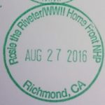
rori-7In August, we utilized one of our local Bay Area parks to check off #5 for the year. The Rosie the Riveter/WWII Home Front National Historic Park in Richmond honors the work of the women who worked in the Kaiser Shipyards during WWII.

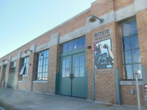
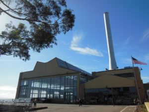
This was actually my second visit to the site, both times tacking the visit onto a trip to the Mountain Hardware Employee Store after scoring an entry pass to stock up on some good activewear. The Rosie the Riveter Visitor’s Center is located at the site of a 1930 Ford Assembly Plant, a great old building that now houses businesses such as Mountain Hardware and a restaurant.

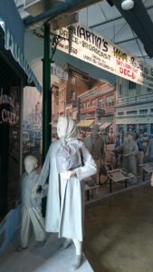
rori-1In the Visitor’s Center, there are great interpretive exhibits about the shipyards, the role of women in the workforce, and the town of Richmond. It was interesting to learn about how the town of Richmond expanded almost overnight and became a booming, diverse community, although not without its issues of discrimination. In addition to the main Visitor Center, there are a few other historical sites scattered throughout Richmond, including an original ship, that are a part of the Park.

rori-10


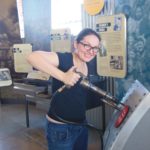
The Richmond shipyards, owned by Henry Kaiser whose previous projects included the Hoover Dam, produced more than 700 ships during WWII. For those of us who have had health insurance through Kaiser Permanente, an interesting fact is that it started as the employee health plan for those who worked in the Kaiser shipyards. In the Visitor Center, you can try out a (bolted down) rivet gun, although it was broken this past visit.

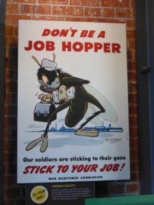
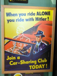
I also enjoyed looking at all of the copies of wartime propaganda, including an example by Walt Disney and another that will make you think twice about not carpooling!

Unfortunately, both times I have been to the Rosie the Riveter site, I have had to leave before the talk given by Ranger Betty Soskin, the oldest NPS park ranger who shares her experience in the local community during WWII. I have heard it is a great talk from an amazing woman and hope to make it one day! We also just missed this year’s Rosie Rally, a community gathering of >2000 individuals in their best Rosie gear in a friendly competition with a town in MI to secure the Guinness World Record. Too bad because I’m not opposed to dressing my baby in a Rosie outfit for the cause!

rori-12 Version 2

Baby’s First Yosemite Trip

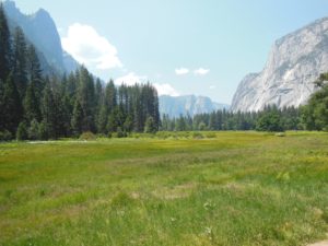
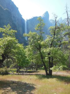
Yosemite ValleyLet’s catch up, shall we? I’m not quite as behind on my Centennial 12 Parks/12 Months Goal as it might appear. Back in May, a good friend was visiting from Norway, and I thought if anything could impress someone from the beautiful land of the fjords, with towering glacier-carved walls and waterfalls, it would be Yosemite! Since it was her first visit and we only had one full day, we opted to go into Yosemite Valley. Even though I know it will be crowded, I do still feel like people have to see Yosemite Valley. And it wasn’t just my friend’s first visit, but my baby’s first visit as well!

We headed out from theBay AreaRiver downstream of Yosemite Falls Bridal Veil Fallslate Sunday morning, stopping at Altamont Brewing in Livermore to further impress my Norwegian friend with the concept of a growler of beer. Lodging can be expensive and somewhat sparse near the park, but we found a nice cabin to share at the Spinning Wheel Yosemite, down a dirt road off of 120 outside the Big Oak Flat entrance. They had a handful of cabins varying in size, including some new since the property was affected by the Rim Fire, and the owners were super nice. Good bird watching by the pool as well.

Yosemite FallsMonday we headed into the park, battled the crowds for parking (even on a Monday before school was out), and started out for the Upper Yosemite Falls Trail. The plan was to hike the first mile or so of the trail to a nice lookout and call it a day. However, in my continuing theme of Lowered Expectations — with Baby!, we didn’t even make it to the trailhead when I decided to call it. We had gotten a later start than intended, and while we have a good soft carrier for the baby, I think we need a backpack-style carrier for more intensive hikes. So, we diverted ourselves to the accessible Lower Yosemite Falls Trail, a short walk up to the base of the tallest waterfall in North America! And there was actually water in it — on top of the drought the past few years, we tend to visit Yosemite in the late summer or fall when many of the falls have dried up. Little guy, of course, slept through the waterfall.

Valley Loop
Valley Loop Trail – a pleasant hike not involving going up any cliffs

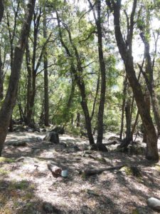
From Yosemite Falls, we weren’t quite ready to stop for lunch, so we walked back behind Yosemite Village tackling a little section of the Valley Loop Trail. It is actually pretty amazing how easily you can leave the crowds behind, even in Yosemite Valley. We weren’t the only people on the Valley Loop, but we definitely had some space to ourselves on the trail. It may not be climbing Half Dome, but the Valley Loop Trail is a pleasant wooded amble past some of the park’s most iconic sites – not bad!


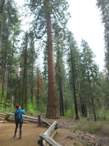
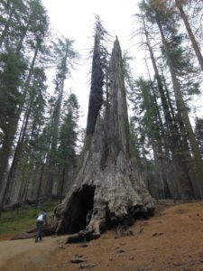
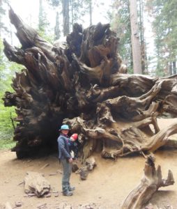
After a picnic lunch, we had the dilemma whether to go deeper into the Valley to walk to the Vernal Falls footbridge (Mist Trail was definitely not in the cards!) or head to one of the groves of giant sequoias on the route out. We opted for the latter as the Sierras are the only place in the world one can see giant sequoias, and little guy seems to enjoy looking up at trees while we hike. I thought he might be impressed Tuolumne GroveTuolumne Grove(and I could be projecting my own feelings, but I think he was!) We hiked down to the Tuolumne Grove, which has 2-3 dozen mature trees — not as many as the Mariposa Grove in the south part of the park, but not as many people either, and certainly enough to get a taste of these awesome trees. They are just so ridiculously massive compared to other trees around them! The hike itself was pretty easy on a wide trail, but you do have to do the uphill on the way back.

Downed tree
Little man IS impressed

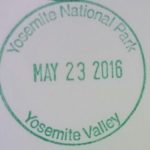
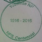
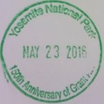
So, all in all, a successful first trip to Yosemite — my Norwegian friend is ready to return someday, and we got Little Guy out into the Park, where he saw some cool trees! I also got the NPS Centennial Stamp for Yosemite, and met a nice lady in Park HQ trying to get the 125th anniversary stamp I missed last year (but misremembered which one I needed and got a stamp of the 150th Anniversary of the Grant Act, which I already have – oops!)
yose16-9 Version 2 Version 3

Allegheny Portage Railroad National Historic Site

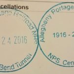
alpo - 5Well, it appears I’m not doing a very good job of keeping up with my theme this year. It’s a good thing I termed it “12 Parks/12 Months” because not only did I miss March, but I’m quite late on this post from April! In March, we had reservations at Furnace Creek in Death Valley to check out the superbloom, but battling baby’s first cold made us rethink the long drive. I did at least get a passport cancellation in March (more on that later), but we’ll have to catch up on national park visits later this year.

In April, we were back in the Johnstown area of Pennsylvania. On our last visit, we visited the Flight 93 and Johnstown Flood Memorials. This time, we hit up the one remaining NPS site in the area, the Allegheny Portage Railroad National Historic Site in Gallatzin, PA, about 25-30 min northeast of Johnstown. Much less depressing than the other sites, the Allegheny Portage Railroad NHS is  fun tribute to historical infrastructure and engineering.

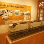
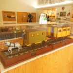
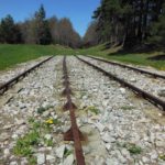
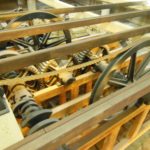
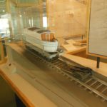
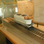
alpo - 8The “Main Line” of the Public Works system was a series of canals and rail segments that connected Pittsburgh to Philadelphia and was intended to compete with the Erie Canal. The rail sections and inclines provided means by which to cross the Allegheny Mountains. In the Visitor’s Center, they have displays showing how sectional canal boats would be loaded onto railcar platforms then towed by horses or steam engines for the overland sections. Ten inclines used cables and pulleys powered by engine rooms to pull cargo and passenger cars up and down the mountain.

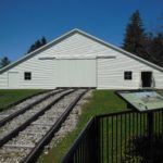
The portage, opened in 1834, served both as a means to transport goods and people, although it fell out of vogue within about 20 years. From the Visitor’s Center, you can walk down a boardwalk to Engine House #6 to look at reproductions of the Engine Room and cables. The current Engine House is built slightly larger to preserve the original foundation still visible inside the building. There are models of the braking system for runaway cars as well as some interesting firsthand accounts to read.

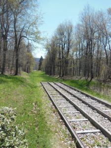
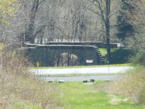
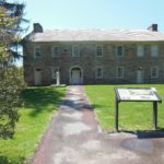
alpo - 6 From the Engine House, you have the option to walk down to see the Skew Arch Bridge, so named because the arch of the bridge had to be built at an angle to accommodate a non-right-angled intersection of the rail and road. In the other direction was the Cotton House, a popular tavern and residence serving passengers awaiting the continuation of their travels. From there, it’s a short walk up a service road back to the parking lot.  We headed on our way after that little loop, but greatly enjoyed our stop. As a bonus, the volunteer in the Visitor’s Center gave us a bit of the local history, including who Prince Gallatizin is and where to find the summer home (now a friary) of Charles M. Schwab.

John Muir National Historic Site

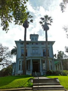
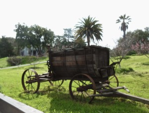
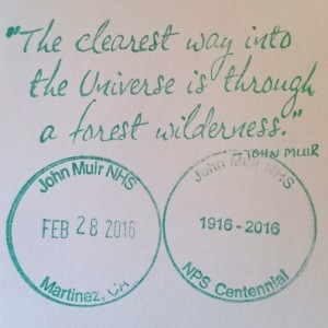
jomu08jomu06Well, I keep taking it down to the wire, but we did manage to get out to a National Park Service site the last weekend in February (even if I’m writing about it in March). Somewhat fitting for the NPS Centennial this year, we visited the home of one of the pivotal figures in the founding of the National Parks, John Muir. The site preserves the historic home of John Muir, Muir’s fruit orchards, and the Martinez adobe. Across the street, there are trails up “Mount Wanda”, named after one of Muir’s daughters, if you need to get your hiking fix.

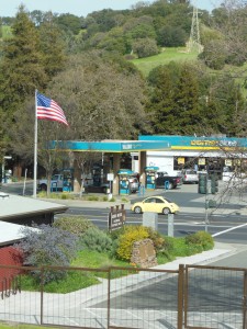
jomu07The John Muir NHS is just off of Highway 4 in Martinez, CA. A bit ironic that this tribute to one of the great naturalists is right across from a gas station and adjacent to a highway, but on the bright side, great to have his legacy preserved in this little patch of land. You enter the estate through the visitor’s center, where the rangers were very friendly and will play a video upon request (as will likely be a theme this year, we skipped the video since the baby was strapped in the carrier). On the timeline display, you can see some of Muir’s achievements (and “could-have-beens” – cool to see a small photo of Hetch Hetchy Valley).

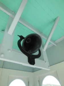
jomu09From there, it’s a short walk up the hill to Muir’s 3-story (+ bell tower!) home, which offers exhibits about Muir and the NPS on every floor. The rangers also lead a tour through the house (we were there on Sunday, and the talk was at 2). I learned that Muir was originally from Scotland and attended the University of Wisconsin before moving out West. He was relatively well-off and reportedly ran a good business off his orchards, which he inherited from his father-in-law. He spent several years in Martinez, later in life returning to spend more and more time in the Sierras with his conservation efforts. An older exhibit in the attic showcased his relationship with Teddy Roosevelt, cemented during one fateful camping trip together in Yosemite.

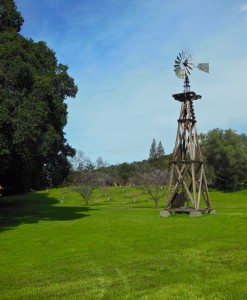
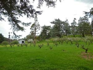
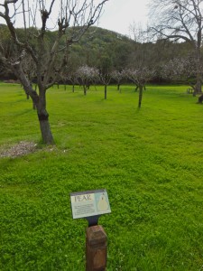
jomu02The grounds are well-kept and include not only the fruit trees, but a little patch of redwoods and a giant sequoia planted by Muir himself. It is not quite as giant as the ones in their prime climate (or perhaps because it’s only ~100 years old?), but that didn’t stop one other visitor we saw hugging it 🙂 Many of the trees were blossoming on the day we visited, and according to the website, you’re free to pick a piece of fruit or two other times of the year. We packed a picnic and had a lovely lunch under the redwoods.

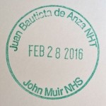
At the end of the estate, there is the Martinez adobe, built in 1849 and the oldest structure in Martinez. Inside, there is an exhibit about the Anza expedition (traced by the Juan Bautista de Anza National Historic jomu04Trail). Sometimes you don’t really appreciate how historical events like this line up chronologically – the expedition, which was an attempt by the Spanish to gain a foothold in Alta California, coincided with the American Revolution in the 1776! Juan Bautista de Anza started in jomu12Mexico, crossed the Sonoran Dessert, and made his way to San Francisco. I don’t believe he made it up to Martinez, but the adobe highlights the influence of the expedition on local building styles.
.

Redwood National & State Parks

redw07Haven’t done much camping this year, so even though I had my doubts at sleeping in a tent at seven months pregnant, decided to go for it and take a weekend in Redwood National and State Parks. This is a string of parks in far Northern California co-managed by the NPS and CA state parks. While we spent most of our time in the state park sections, I can now say I’ve been to all but one of the full-fledged National Parks in California (Channel Islands is a little tougher to do on an extended weekend from the Bay Area with the boat ride and all, but I’ll get there eventually).

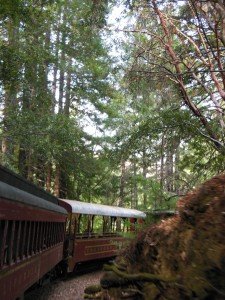
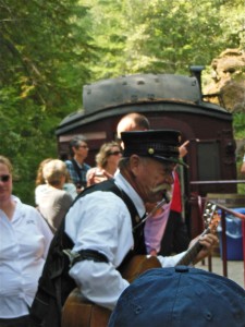
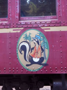
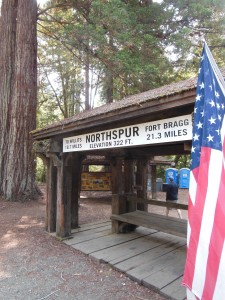
Since it’s a long drive to the almost Oregon border, we took off Thursday night and drove half-way, stopping at a motel in Willits, CA, the “Gateway to the Redwoods” on highway 101. Willits has enough motels, restaurants, and shops to make it a good stop, and the best part is that it is a depot for the “Skunk Train”, a historic railway that follows the Noyo River through redwood forests from Willits to Ft. Bragg on the coast. We took the half-day roundtrip from Willits to the midpoint, Northspur, a small picnic area where you are encouraged to buy lunch (burgers & hot dogs, but there was at least a 3-bean salad, fries, and root beer floats to hold over this vegetarian until we got back to town). While we lunched at Northspur, the train went on to drop off campers at “Camp Noyo”, a private campground only accessible by the train. A little pricey for camping, but could definitely be a fun excursion to keep in mind for future family trips… camping AND trains!


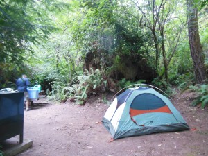
From Willits, it was another 3-4 hours to Mill Creek campground in Del Norte Redwoods SP. This was definitely one of the nicest campsites we’ve had at such a large campground (with one unfortunate exception). We were at Site #93, and like most of the sites in that loop, the campsite was beautifully nestled amongst the redwoods. Although they we were close, we couldn’t see our camp neighbors — a group of college kids on one side and a religious family from Utah on the other — redw06but guess which ones we could hear playing drinking games and being generally loud late into the night? It’s never a good sign when you pull into camp to hear your neighbors blasting Spice Girls and attempting to play the game Catchphrase but only “succeeding” by frantically spelling out the answers (i.e. cheating)… I guess avoiding this is why I need to give backpacking another try in the future. As far as I’m concerned, there’s only one type of campout at which flipcup is appropriate, and it’s one where you leave with Duke basketball tickets in hand!

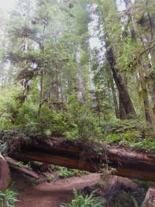
redw10redw08The next day, we stopped at the Visitor’s Center in Crescent City, from which it was just a mile or so to get to the beginning of one of the scenic drives, Howland Hill Road, a dirt road that winds through Jedediah Smith Redwoods SP. It’s a great drive through the tall trees, and there are some trailheads off the road to get out and do more exploring. We opted for the Boy Scout Tree Trail, since it was supposed to be relatively easy in terms of elevation

redw1
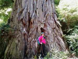
The trees aren’t the only thing that are extra-wide around here!

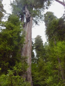
(because believe me, you feel every inch of gain when you’re lugging an extra 30 lbs under your already fatigued abs!). The full trail is ~6 miles, with an optional spur to see the Boy Scout Tree, but we decided to turn around after stopping for lunch at about 2.5 miles (right about where the spur to the tree should have been, but we didn’t see it). Still, we didn’t miss out on impressive trees. The coast redwood is the tallest tree on Earth, and even though I know the giant sequoias are wider and more massive, some of these trees were pretty ginormous at ground level! While I couldn’t cover as much ground as I would have liked, I was pretty proud of myself for getting a 5-mile hike in, and fellow hikers on the trail were very encouraging!

redw11
Enderts Beach
redw12
Crescent Beach

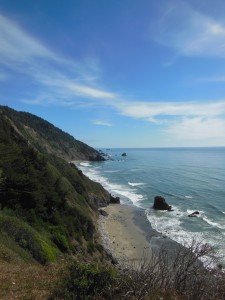
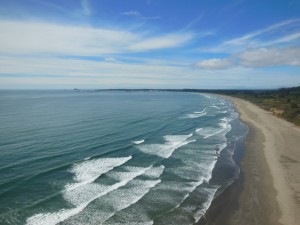
Howland Hill Road lets you out on the other side of Jedediah Smith park, near that park’s campground, the Smith river, and the Hiouchi visitor’s center. From there, you can loop back around (on a real road this time) to Crescent City, with some other options to stop and explore if you want. On our way back to camp, we also stopped at the Crescent Beach overlook, with access to Endert’s Beach, even spotting some Roosevelt Elk!
redw13
Mouth of the Klamath River

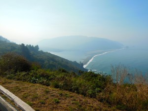
On our way out on Sunday, we took the Newton B. Drury scenic drive to get a last taste of the redwoods, stopping for a short walk at “Big Tree Wayside” and at the Prairie Creek SP Visitor’s Center. Supposedly this is a good area to see the Roosevelt Elk, but not so much in the late morning. We also stopped at the overlook of the mouth of the Klamath river, a good spot to see migrating whales from land, but again, not the best time of year. On our way home, we stopped at the Lost Coast Brewery & Cafe in Eureka for some lunch (and beer for Jason). All in all, a good visit to some beautiful scenery.

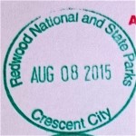
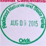
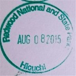
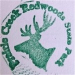
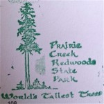
I got three of the standard passport stamps at the visitor’s centers in Crescent City, Orick, and Hiouchi, and Prairie Creek had their own take on stamps at their visitor’s center. Supposedly there may have been some at the Jedediah Smith campground as well, but we didn’t stop there.

Virgin Islands National Park

viis16

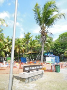
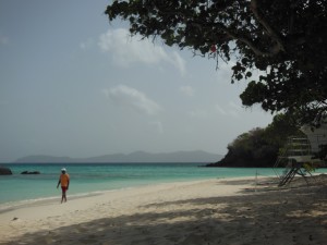
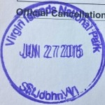
viis01Admittedly, this was more of a lazy resorty-beachy vacation for me than National Parks exploration, but when considering islands in the Caribbean to spend some time relaxing by the beach/pool, of course I picked St. John in the US Virgin Islands, 2/3 of which is Virgin Islands National Park.

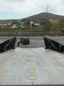
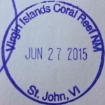
St. John is the smallest of the 3 US Virgin Islands, which also include St. Thomas and St. Croix. While St. Thomas is the major cruise stop and shopping location, St. John is where you will find the sites of Virgin Islands NP and Virgin Islands Coral Reef National Monument offshore (which I didn’t get to see since I think it requires a boat and/or diving capabilities). St. Croix also has NPS sites associated with the island’s history but is only accessible from within the Virgin ferry loadingIslands by plane from St. Thomas. St. John is just a short ferry ride from St. Thomas, although it’s not without its challenges if you opt to drive – they drive American-style cars but on the left side of the road, and the car ferries only load/unload from one end, making it necessary to back onto the boat for loading! I still found it worthwhile to have my own wheels as opposed to relying on the island’s “taxis” (imagine the front half of a pickup truck with the back half of an amusement park tram – probably quite convenient if you aren’t prone to motion sickness on windy mountain roads, but not for me)
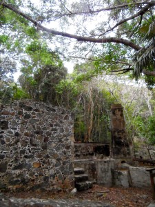
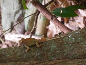
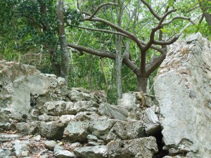
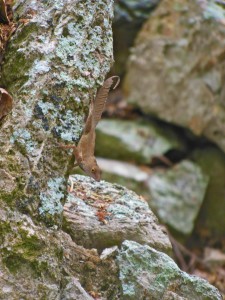
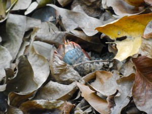
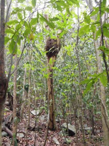
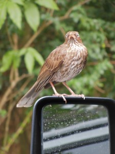
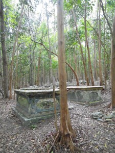
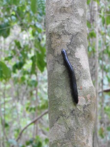
viis02Virgin Islands NP has a number of relatively short hiking trails, but most were not short enough for me in the near 90F tropical sun. We did take the 0.5-mi nature trail at Cinnamon Bay, which starts at the ruins of an old sugar plantation and is a shaded walk through the trees with interpretive signs. Even on that short walk, we managed to find some interesting fauna, including the native anole (plus numerous smaller lizards scattering every time I stepped it seemed), millipedes,  termites’ nests, a crab, a mother and baby deer, and birds such as the pearly-eyed thrasher.

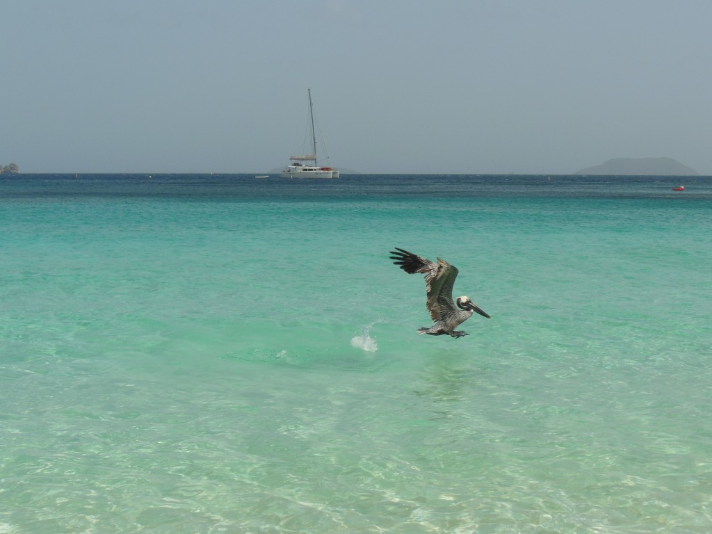
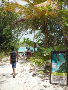
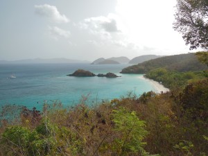
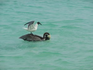
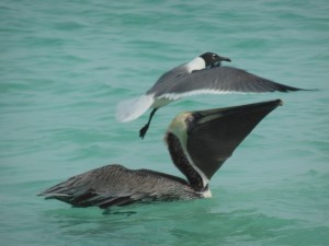
viis17Of course one of the biggest highlights of the park is the gorgeous beaches. The one day we managed to get out of the hotel early enough to avoid the crowds and heat, we spent a couple hours at Trunk Bay, which has facilities including rental equipment as an underwater snorkel trail. From the clear, turquoise water to the white sands, it really was a beautiful beach. I had fun watching a pelican dive amongst the swimmers accompanied by an opportunistic laughing gull. In the water, we could see several types of fish and the occasional ray. As I was wading, I even got face-to-face with a group of fish hopping in and out of the water around me.

There was definitely more to explore, but we also enjoyed some time napping, in the pool, and seeking out brunch on the other side of the island, where some of the quirkier home-spun bars and restaurants can be found. Guess we’ll just have to return sometime!

viis19viis20 viis13

Day Trip to Joshua Tree

jotr2_01
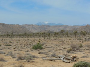
Escaping the heat in Joshua Tree – hey is that snow??

Earlier this month, I made my second visit to Joshua Tree National Park during a weekend in Palm Springs. Despite being March, it was in the low 90s in Palm Springs, so we were more than happy to head to the higher elevation and different climate in Joshua Tree – a beautiful 75 degrees!

jotr2_07As we only had so many hours in the park, we stuck to a driving tour with brief stops for some short walks. As I observed on my last trip, Joshua Tree has an abundance of short nature walks, but with not a lot of shade and no water available in the park, very few longer hikes. I think Joshua Tree might be more of a climbing/bouldering paradise than hiking… but maybe I need a SoCal native  to show me how it’s done.

jotr2_03
Hidden Valley

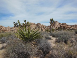
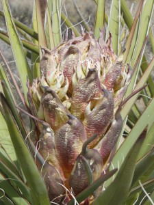
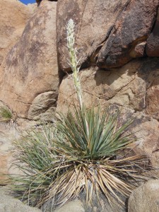
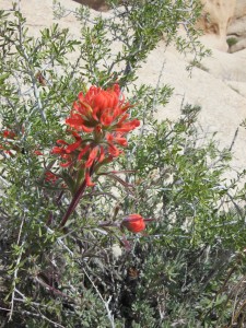
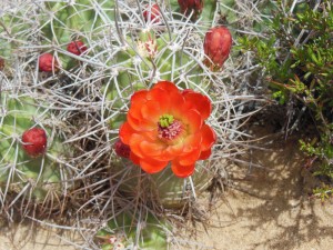
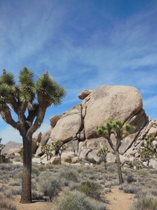
On our loop, we hit up the jotr2_02jotr2_05Hidden Valley Trail, the Cap Rock Nature Trail, and the Arch Rock Trail. The Hidden Valley Loop is a nice little introduction to the terrain of Joshua tree. The ~1 mile loop circles a valley previously used as a grazing area by cattle smugglers. We saw a couple signs of spring with blooming yucca and a single cactus.jotr2_04

jotr2_08
Cap Rock

The Cap Rock interpretive loop is very short, but there is a picnic area and an -um- interesting story our hotel manager told us to look up regarding the death of musician Gram Parsons.


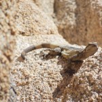
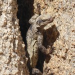
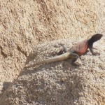
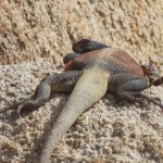
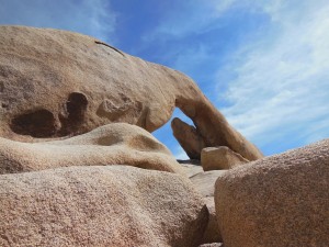
jotr2_10Our favorite little walk of the day was the loop to Arch Rock, the trailhead for which is in the White Tank Campground. The trail takes you to some interesting natural rock formations, but my favorite part was that jotr2_09we saw lots of lizards, including two chuckwallas. Chuckwallas can live up to 40 years and grow to something like 15 inches long. We saw an adult male, with the characteristic orange body and black head, and a female (or perhaps a juvenile?) with a greenish brown pattern and a striped tail.

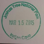
IMG_20150329_214709On our way out of town, I did stop in at the Indian Cove ranger station to pick up one of the passport cancellations I didn’t yet have for the park. Is it cheating if I didn’t stay at the campground? Oh well.


Happy Presidents Day Weekend!
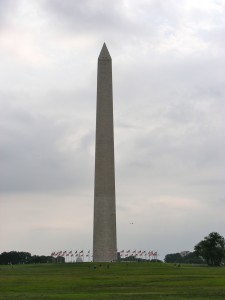
Happy Valentine’s Day/Presidents’ Day weekend combo! In case you didn’t know, this is a fee-free weekend in most National Parks.  If you really wanted to mark the occasion, you could spend the day in a Presidentially themed park or historic site, such as Theodore Roosevelt National Park or one of the Presidential homes and birthplaces. Or, always free-of-charge, you could walk around the Presidential memorials of Washington, DC. Washington MonumentHere’s a couple from my trip a few years back:

Washington Monument

Still waiting to get the passport cancellation for this one. Someone (husband) convinced me I had to actually go up to the top to collect the stamp, and we didn’t wake up early enough to get tickets. However, if you have fewer scruples and/or forgot to stamp your passport book elsewhere in the National Mall, the lobby of the Washington Monument has (or at least had) quite the collection of stamps.


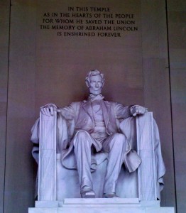
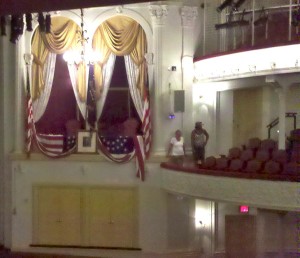
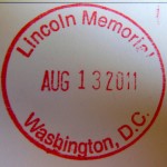
Lincoln Memorial and Ford’s Theatre

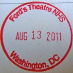
pres02A couple locations in the National Mall area are devoted to the 16th President. Of course the famous Lincoln Memorial is a must see, and just north of the Smithsonian is the infamous Ford’s Theatre, where Lincoln was assassinated. You can take a tour of the theater – or see a historical show – as well as visit the pres03Peterson House across the street where Lincoln died (closed when I visited so not sure if there’s a cancellation – or perhaps I passed uppres11pres10 the opportunity to stamp it at the theater on the same principle I mentioned above?).


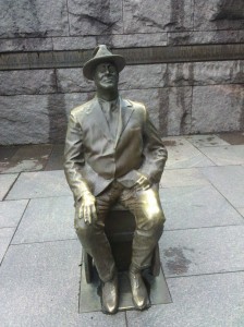
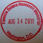
Franklin Delano Roosevelt Memorial

pres06Thispres07 one was new since I last visited the area on that 8th grade field trip. A good stop if you’re walking around the Tidal Basin en route from the Lincoln Memorial to the Jefferson Memorial. There are four sections  to walk through dedicated to the president’s four terms, and the memorial gives a pretty balanced look at the highs and lows of a very eventful presidency. This memorial is also near the Martin Luther King Jr. Memorial, which was still fenced off before opening the year we were there.


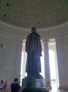
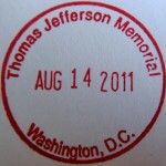
Thomas Jefferson Memorialpres04

One of the top three most-recognizable memorials, it is patterned to look like Jefferson’s home in Monticello. My camera died before we got there, so I only have this not-so-great cell-phone pic. A nice stop on the tour of D.C. memorials, but if you really want to get in the Jefferson zone, I recommend a pres09visit to Monticello near Charlottesville, VA.


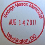
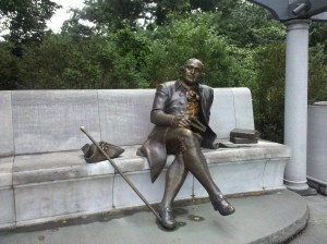
George Mason Memorial

Not a president, but George Mason was an influential “Founding Father” and Virginia delegate to the Constitutional Convention. I admit, that until I visited this small memorial a short walk from the Jefferson Memorial, the only reason I had heard of George Mason was because the name pops up occasionally around NCAA tournament time (including a final four appearance and, perhaps more importantly, second round win against UNC in 2006). Mason held the relatively progressive opinion at the time that the slave trade should be prohibited by the new constitution (although he was a slave holder himself), and he was influential in the adoption of the Bill of Rights. pres08

pres05

Wildlife Watching at Point Reyes National Seashore

pore07

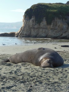
seal
Lone male elephant seal napping on Drake’s Beach. His snout flapped around as he snored!
January is an important time of year at Point Reyes. This month not only marks peak season for grey whale migration but also is prime elephant seal breeding time. Being able to observe these two events is a popular draw for visitors, and the park runs buses to ease vehicle traffic to the lighthouse and wildlife viewing areas. I had tried to make the pilgrimage last year, but unfortunately, the one day we picked to make the drive up from the South Bay/Peninsula, the bus broke down blocking access to the road. So there was a year’s worth of anticipation around seeing the whales this year!pore02

whale
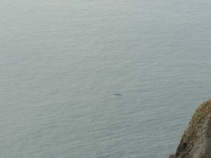
This is a picture of a whale (see that dark spot in the middle?). I swear they were more exciting in person…

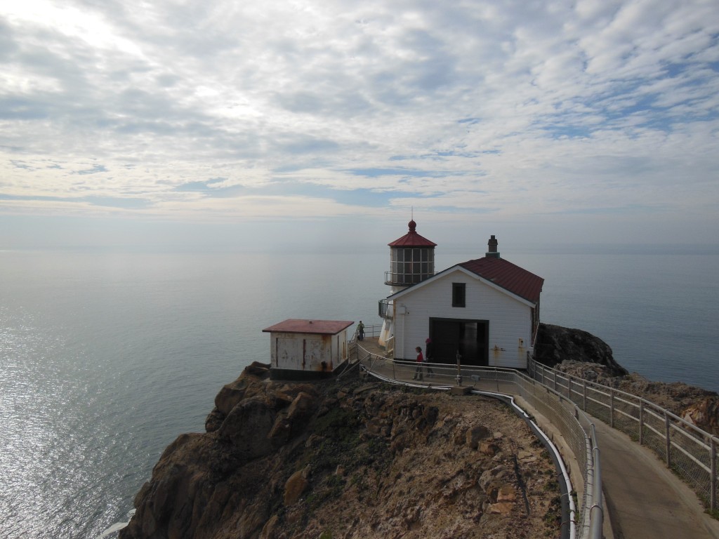
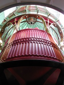
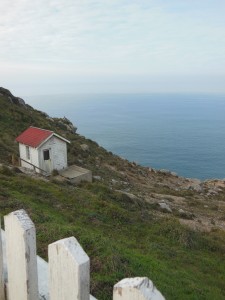
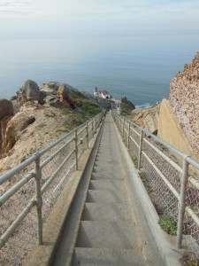
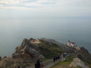
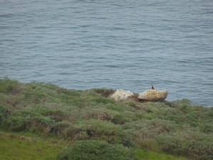
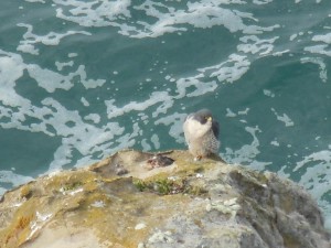
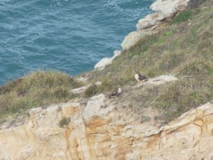
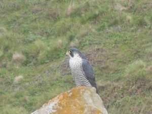
The Point Reyes lighthouse, extending far west into the Pacific Ocean, is reportedly one of the best places on the West Coast to see the Grey Whales as they make their journey from Alaska to Mexico. The fact that the whales can be seen from land was a big selling point for my seasick-prone self after the Dramamine didn’t quite do the trick on a humpback whale-watching expedition in Monterey Bay. At the lighthouse, volunteers help to spot and count the whales (and have binoculars onhand if you didn’t bring your own). We saw at least 5 or 6 whales in the time we spent at the lighthouse, including lots of water spouts and a couple tails. While there is a viewing platform above from which you can see the whales, you can also climb the 300+ stairs down to the historic lighthouse to get a closer look. One of the unexpected highlights of our visit was getting to see peregrine falcons and red-tailed hawks dotting the cliff areas around the lighthouse. I had never seen a peregrine falcon before, and they are gorgeous birds! We spent a lot of time watching one chase away two red-tailed hawks invading his territory.
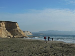
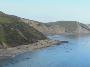
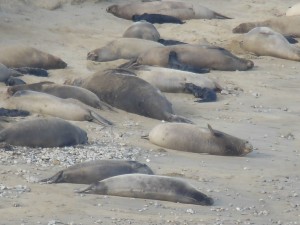
Drake's beachJust around the corner from the lighthouse, in Drakes Bay, dozens of elephant seals come to land to birth and breed, and their beach can be observed from a viewing area nearby. The same bus that goes to the lighthouse continues to the Chimney Rock Elephant Seal viewing area. Again, volunteers are available for help with viewing and as a great source of information. We saw a couple males with their “harems” and a lot of the little black babies, all born within the past week or two according to the volunteers.

pore17
Nursing elephant seal. The babies’ dark fur helps them stay warm taking in sunlight until they put on some blubber.

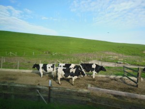
All in all, it was quite a successful day of wildlife watching. In addition to the animals above, we also got to see some deer and elk and some not-so-wild cows on the ride in toward the lighthouse. The area is home to several historic ranches that are still functioning. We got to taste the results by stopping in to pick up some Cowgirl Creamery cheese at Tomales Bay Foods in Point Reyes Station on our way out.

cows This was the first time I’ve visited a site run by the National Park Service and forgot my passport book! I did stamp the cancellation and lighthouse stamp on a piece of scrap paper, and it turns out they are the same ones I picked up last year at the other pore19visitor’s pore20center in the park.