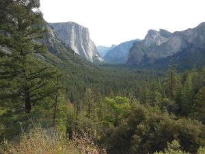
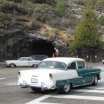
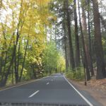
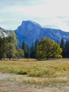
I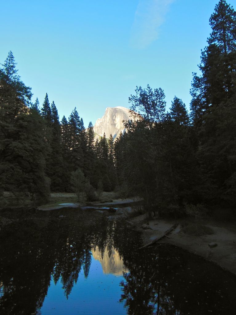 couldn’t risk letting 2014 go by without a trip to Yosemite, especially in their 150th anniversary year! I’ve concluded that the number of people in Yosemite Valley in July/August is just too much for me, but as expected, this random weekend in October, while still pretty popular, was manageable and gave us a taste of what Yosemite has to offer in the fall. A partial taste since the weather was a little more on par with August with 85°F temperatures! California isn’t particularly known for our fall color, but Yosemite gives it our best shot! And while we didn’t have crisp fall air, we still got to see leaves swirling in the breeze through the Valley.
We tried to get an early start by driving up Friday night and staying at the Best Western in Oakhurst. Unfortunately, the breakfast waitstaff at the hotel restaurant had other ideas (we never were approached by a waitress – the hostess kept coming by and, noticing we hadn’t been helped, served us the whole meal. Two other parties were seated then simply left after being similarly ignored. Combine that with an offensive button worn by the lobby staff at checkout, and we’ll make this my first negative lodging review.) In spite of that, made it to the Valley Visitor’s Center by about 10:30-11.
 Our late start pretty much determined which trail we were going to hit up. I had been considering the 4-mile trail up to Glacier Point, but since we were getting into the midday heat, wasn’t sure that would be a very pleasant hike. It’s supposed to have excellent views of Yosemite Falls, perhaps not quite as impressive when it’s dry, so I’ll pocket that one for the spring. Time to explore Yosemite Valley on the Valley Floor Loop.
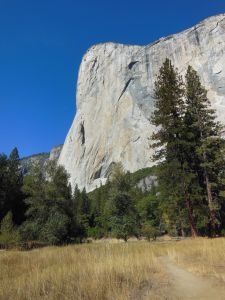
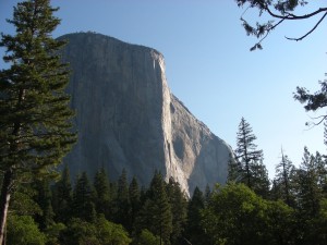
The Valley Floor Loop Trail is a pretty self-explanatory 13-mile loop that starts around the bottom of Yosemite Falls at Camp 4 and passes a lot of famous Valley landmarks, such as El Capitan and Bridal Veil Falls. There’s an option to do a 6.5-mile half loop by cutting across to the other side using a bridge near El Capitan. As promised by the descriptions I read, we were almost alone the whole day on the trail except for when it intersected the parking areas for the major landmarks.
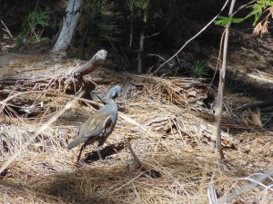
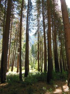
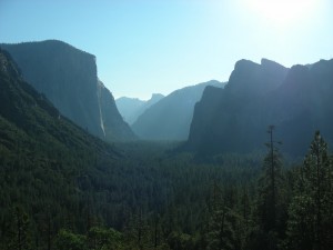
The only downside of the Valley Loop Trail is that it’s not that wide of a valley, so you’re never far from the park roads. On a Saturday, we could hear road noise pretty much the whole day. I will say, however, there is some satisfaction in exploring the Valley on your own two feet, even if you’re not exactly ditching civilization. Especially when you can enjoy the falling leaves and contrasting yellows and greens of the trees with the granite walls rising on either side of you!
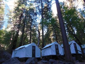
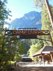 We spent the evening in Curry Village, staying in the classic tent cabins. It may be the most expensive canvas scaffold you’ve ever stayed in, but the tent cabins have a rustic, old-school charm and are a lot easier than having to set up camp for a night. Plus, when your Fitbit reads 35,000+ steps, fresh-baked pizza and a cold, local beer (albeit at ballpark-level prices) on an outdoor deck never tasted so good! And just in case that doesn’t make up any calorie deficit, they also have delicious, enormous cinnamon rolls at the coffee stand in the morning.
Sunday,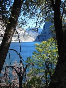 we
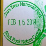
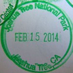
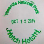
we 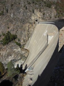 headed back to the Bay Area, taking a detour to the Hetch Hetchy reservoir to visit our friendly local water supply. Driving out to Hetch Hetchy, we could see the evidence of last year’s Rim Fire, which started the week after our last Yosemite Trip (remind me to never again say “last chance to see the sequoia grove” while driving past!). O’ Shaughnessy Dam is a place where every good Bay Area citizen can come to feel conflicted about appreciating a stable, pristine water supply while wondering what was lost when Hetch Hetchy Valley was flooded to create the reservoir in spite of John Muir’s intense opposition. There are some trails around the reservoir, but with little tree cover and even higher temperatures than the day before, we decided to head into Groveland for some lunch at the Iron Door Saloon, the oldest continuously operating saloon in CA. Important note for stamp collectors – you have to ask for the Hetch Hetchy cancellation at the Entrance Station on your way in or out of the reservoir area as there is no official visitor’s center.


 inclined to
 take that trip on!
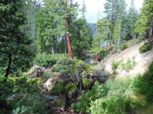
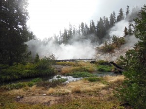
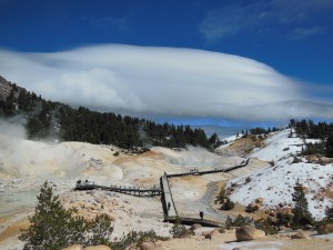
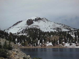

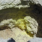
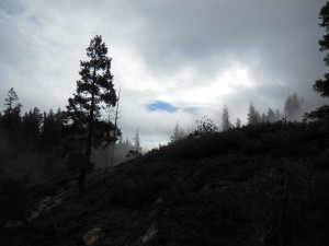
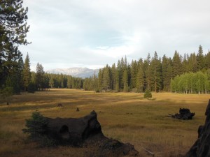
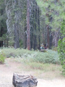
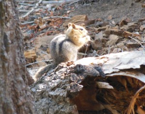
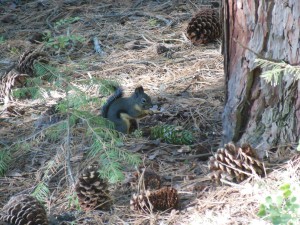 Princess is in a great location just about a 10 min drive past Grant Grove on CA 180 and a half hour from Cedar Grove. It is technically in the National Forest, but you do have to pay the NP entrance fee to get to it by road. It was actually a great location for being able to explore both Sequoia and Kings Canyon parks (at least those areas accessible by road from the west). The campsites were generally more spread out that what I saw in Cedar and Grant Groves, and some had a decent amount of privacy among the trees. We were in the “Shining Cloud” loop at site #50, which was ideally situated between some trees and had a nice open area out the back leading toward Princess meadow. The sites on either side of us also seemed pretty nice, although they were nearer to the other loops on one side or the bathroom (pit toilets) on the other. At the campsite, we had company from chipmunks, Douglas’ squirrels, and a little bat in the evenings!
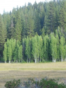
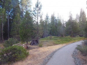
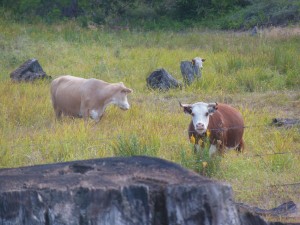
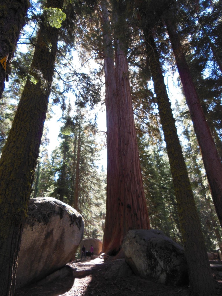
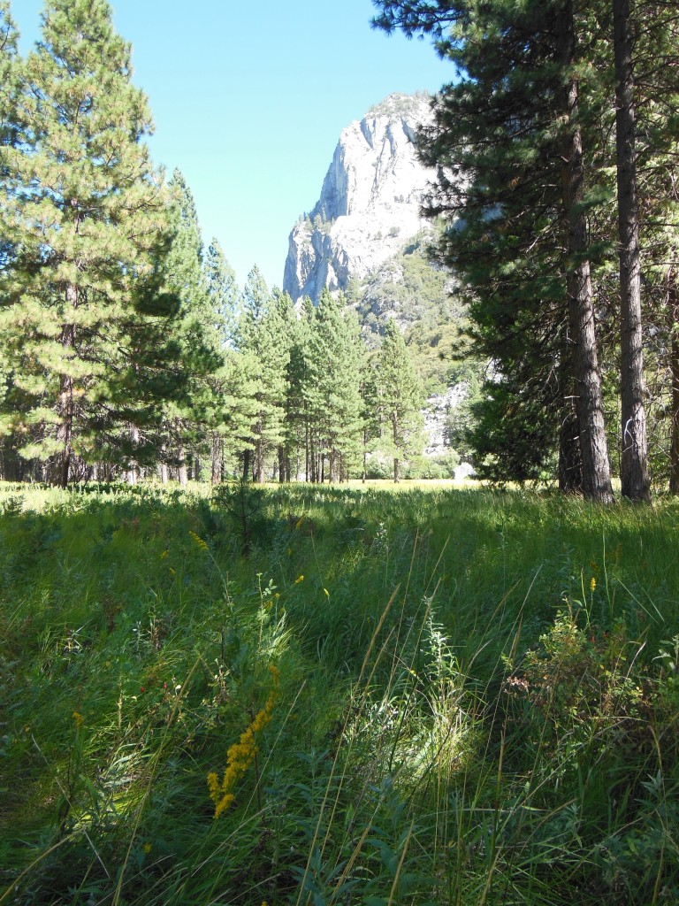 In my last post, I featured spots in Sequoia National Park, but it turns out, Kings Canyon holds its own when it comes to giant sequoias in addition to having gorgeous valleys, granite canyons, and meadows.
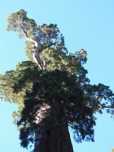
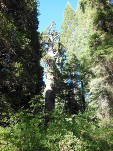
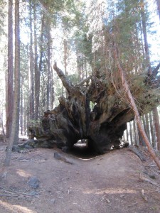
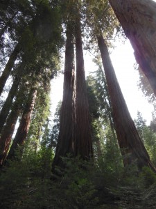
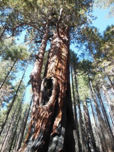
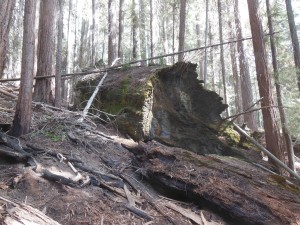
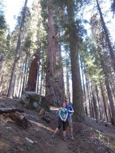
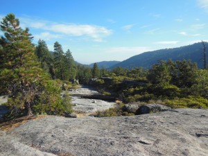
 continue East on 180 instead of heading south on the Generals Hwy, you’ll drive down the canyon walls into Cedar Grove and the section of the park that follows the Kings River deeper into Kings Canyon. This area houses the other large campgrounds within Kings Canyon, a visitors center near the campground (where you can find the passport cancellation), and an additional information stand at the aptly named Road’s End. From Road’s End, you can continue on foot 2-3 miles down either side of the river to a bridge. From the bridge, you can return to Road’s End the way you came or down the other side, head up the hill for Mist Falls (apparently “still misting away” this time of year) or head up the Bubb’s Creek Trail to the left.
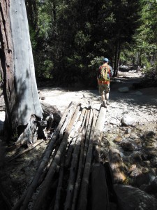
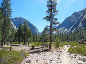
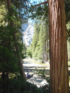
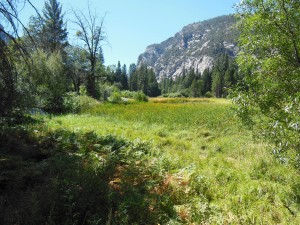

 but I finally got a to take a long weekend this summer to visit a new (to me) National Park. Parks actually, since Kings Canyon and Sequoia are two adjacent National Parks managed together. I love the Sierras, and these parks just may rival Yosemite as my favorite NP! There were so many highlights to this trip, that this will have to be a multi-part post.
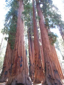

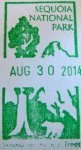
 Further into Sequoia National Park is the Lodgepole area, which has a visitor’s center, campground, market, and other facilities. Lodgepole is one of two places where you can get tickets for the Crystal Cave tour (the other is the Foothills VC near the southern entrance), but we didn’t have time for that one this trip. If you do plan to go into the cave, read the current restrictions on clothing and equipment before you go as efforts are underway to prevent the spread of white-nose syndrome from bat colonies in the Eastern US.

 is without a doubt one of my favorite places in this world. It’s definitely hard to keep up any pretense that I don’t have a favorite park, and I’ve spent my past couple
  birthdays waking up and logging on to recreation.gov to make sure I get those coveted summer camp
 ing reservations.
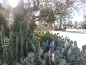
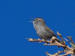 amenities of campgrounds in the park (I have to say, I am a fan of access to potable water). Some campsites were pretty large, but with nothing but a few Joshua trees for buffer, it did get a little noisy from some of the nearby campers. Not so noisy you couldn’t hear the coyotes crying in the early evening, though. There are some mid-range hiking trails in the area of the campground, but we didn’t check them out this trip. We did discover that Sam’s Market (and pizza and Indian food…) a few miles down the road in the town of Joshua Tree, had a good beer selection and other supplies, such as firewood.
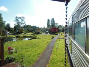
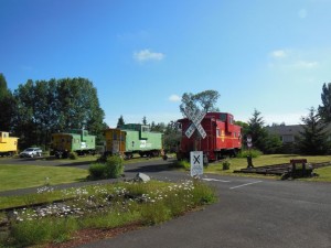
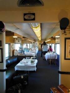
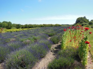
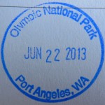 Dungeness National Wildlife Refuge.
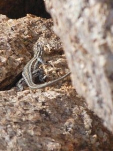
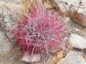
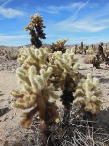 Perhaps because of the sparse nature of the desert and potentially high temperatures, Joshua Tree seemed to be heavy on the shorter interpretive nature trails, with fewer of the longer half-day and day hike options I usually prefer. At least in terms of established trails – you may want to explore backpacking and backcountry hiking options to get further off the main roads. That being said, it was definitely worth checking out some of these nature trails, particularly as first-time visitors. One of my favorites was the Cholla Cactus Garden on the road that heads toward the southern entrance. They really do look like fuzzy teddy bears, but that’s a mistake you don’t want to make. Barker Dam was basically a dirty puddle when we were there, but you can still walk the trail to spot lizards, learn about different desert plants, and, if interested, see the pictographs “enhanced” by old movie crews.

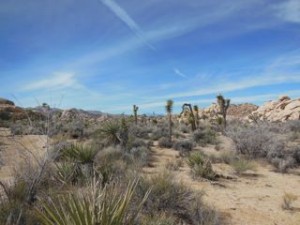
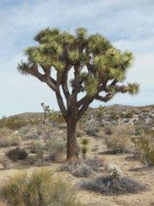
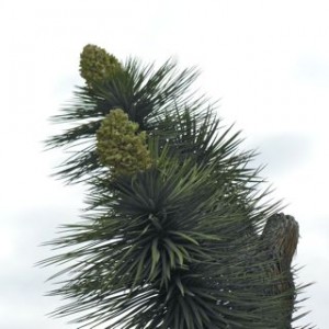
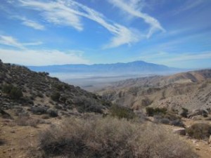
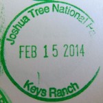
 Of course one highlight of the park is seeing the eponymous Joshua trees in all their Seuss-like glory. In mid-February, we were a little early for wildflowers (perhaps worsened by the fact it hadn’t yet rained this year due to the drought), but we did get to see a few Joshua trees with their fluffy white pinecone-esque blooms, particularly as we drove up to Keys View, where you can see the entire Coachella Valley, including a quite ominous-looking San Andreas Fault line.