I’ve been utterly failing at getting out to any parks this summer, so two weekends ago I was determined to at least hit up one of the NPS sites in the greater Bay Area on a day of hiking. I opted to go get my Passport stamps for Muir Woods in Marin County, in spite of knowing that summer weekends would bring crowds. 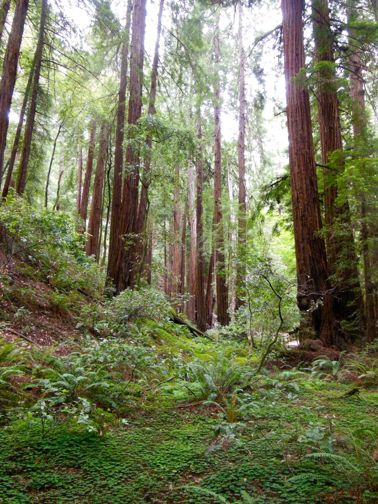
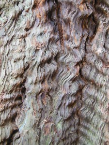
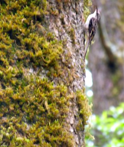
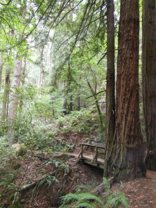
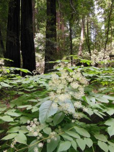 Muir Woods is a beautiful example of a California redwood forest, with coast redwoods lining a shaded creek surrounded by ferns and a blanket of redwood sorrel. Unfortunately, it is also THE place for people touring CA to get a quick giant tree fix, so you get the trees without the tranquility. There are certainly better places to lose yourself in nature, including redwoods, but the scenery is still able to impress (and as you can see, I managed to get a few pictures without people in them!). Other highlights of the Monument (which likely also contribute to its popularity) are the educational programs and the boardwalked trails through the center of the park, which both protect the woods floor while also making the park more accessible to all visitors.
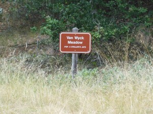 If you must visit Muir Woods during summer weekends (as I apparently had to), it is highly recommended that you take the Muir Woods Shuttle (follow signs from the freeway). Another option if you are planning on doing more than just the boardwalk is to hike into the Woods from Mt. Tamalpais State Park. There are several options here: From the Mountain Home Inn, you can take the Panoramic and Ocean View trails into Muir Woods or follow Alice Eastman Road down to the Plevin Cut and Camp Eastwood trails.
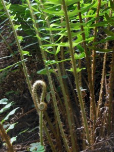
We opted for a longer hike from the 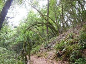 Pantoll Ranger Station, starting with the Stapelveldt and Ben Johnson trails and returning via Bootjack and Alpine. Up at the ranger station, it was all blustery fog and moss-covered trees, but we quickly lost the wind heading down the back side of the hill and had a pretty solitary hike until we got closer to Muir Woods. As you descend, you can see the redwood forest develop as you get further down into the watershed – it’s really quite a nice way to approach! All together, it ended up being about 8 miles and 4 hours, including some meandering about the visitor’s
  center and a stop on the trail for some lunch.
Of course the only 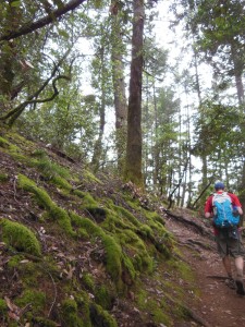 problem with doing the hike this way is that the uphill is all on the way back! Using the TCC trail as a connector, you could do the loop we did from the end of the Muir Woods trail if you prefer to do the uphill first. My fitbit logged 147 flights of stairs – I was highly tempted to go up and down the stairs at my apartment 3 more times when I got home, but my knee was hurting from all the downhill hiking.
Back in Mill Valley, where Highway 1 turns up toward Mt. Tam, we stopped at the Dipsea Cafe for a late lunch and a much-deserved Mt. Tam Pale Ale from Marin Brewing!
