Golden Gate National Recreation Area: Marin Headlands

Since snow squashed my plans for an introductory backpacking trip in the mountains a few weeks back (the one weekend EVER I have backpacking plans, we get early season snow in the middle of a drought!), I resolved to at least hit the local trails and took a lovely hike in the Marin Headlands of Golden Gate National Recreation Area.goga08
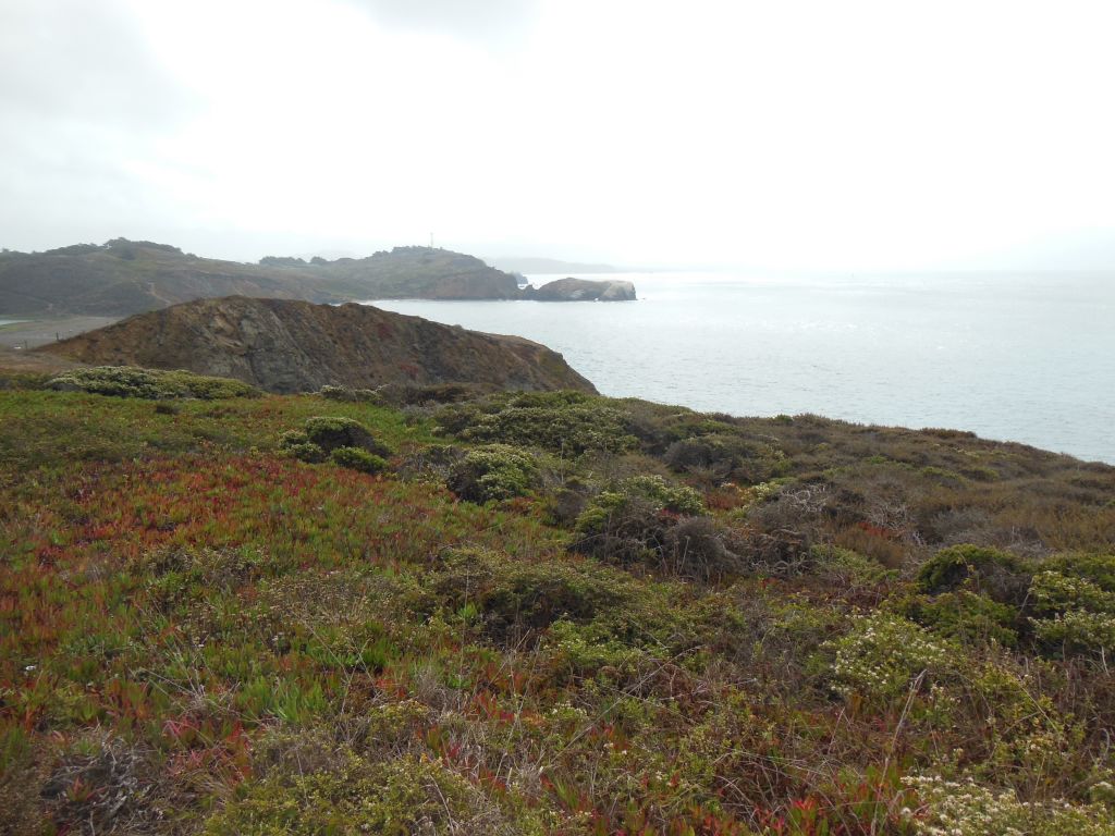
GGNRA spans several sites in San Francisco and just across the Golden Gate Bridge in Marin County. I hadn’t spent any time out in the Marin Headlands since high school band camp at the YMCA Point Bonita. One thing I’ll never forget from that time – make sure to use the sunscreen and stay hydrated to help prevent windburn (does hydration actually help or did I make that up? Certainly doesn’t hurt…).
goga03
Not a Hawk
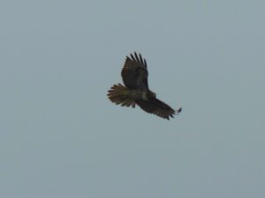
Hawk (juvenile red tail?)

Our first stop on the drive in was “Hawk Hill”. From this vantage point, which also offers pretty decent views back toward the Golden Gate Bridge, volunteers from the Golden Gate Raptor Observatory were out in full force monitoring the autumn raptor migration. I was pretty amazed at their ability to spot, track, and identify hawks and falcons from miles away. I have a good pair of binoculars, but half the time I couldn’t even find the birds they were tracking, much less even tell the basic differences between Accipiters and Buteos. When I could spot the birds, however, it was nice to have my own panel of experts behind me to tell me what I was looking at.goga04
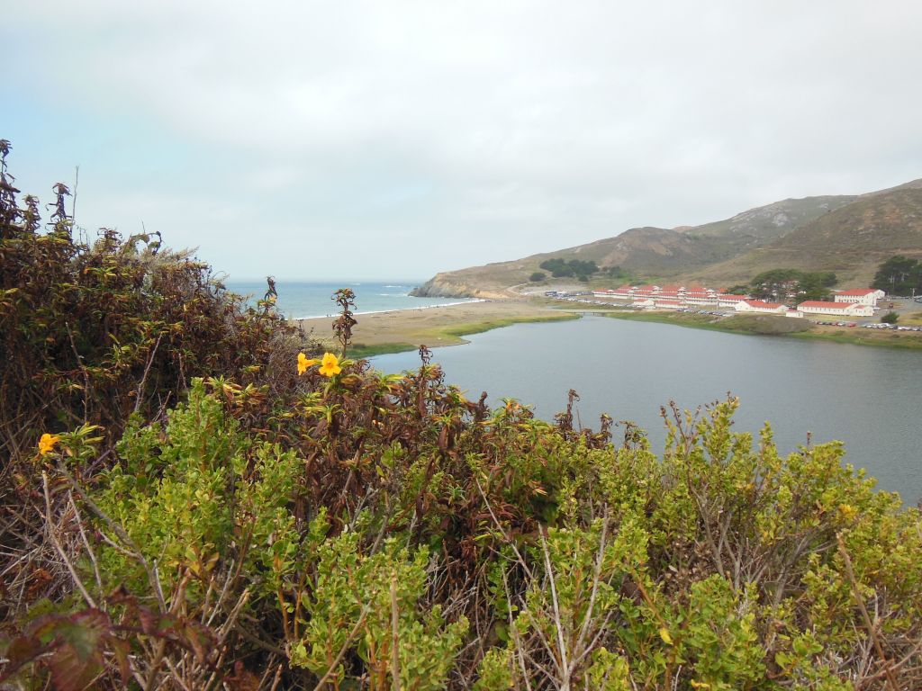
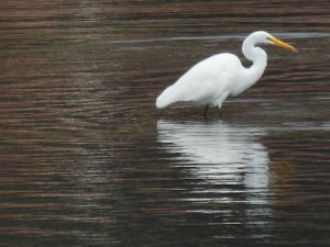
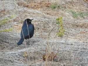
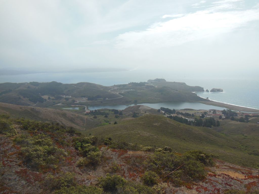
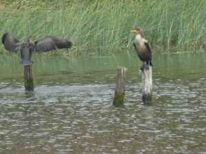
The Marin Headlands area, like much of GGNRA, was used for coastal military installations in the 1930s and 40s, and one of the features of the park is the old forts and batteries scattered throughout the hills. We parked at the Visitor’s Center in what I assume is an old Chapel near Fort Cronkhite and started our walk at Rodeo Lagoon, also reportedly a good spot for goga06goga05watching the number of bird species native to or migrating through the area. You can even pick up a bird checklist at the VC. While the distant raptors were a bit of challenge, I had better luck identifying some of the more common (and slower moving!) birds found near the beach and lagoon.
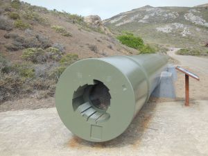
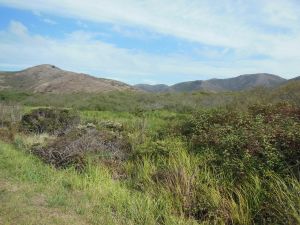
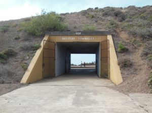
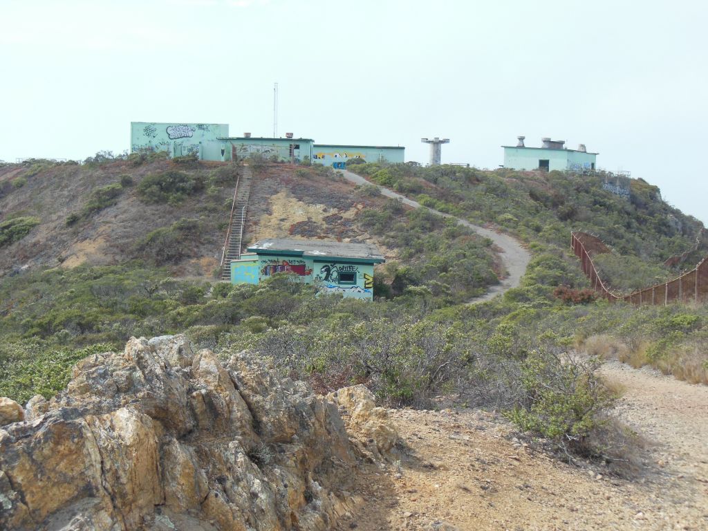
The Lagoon ends at Rodeo Beach, also accessible from the Fort Cronkhite parking lot, and from there, we hiked up the Coastal and Wolf Ridge Trails to Hill 88. The path leads you past Battery Townsley, with an old 16-in gun on goga09goga10display to demonstrate the coastal defense capabilities. The Top of Hill 88 had great views in all directions, even on a partly cloudy day.  That is assuming you are not blinded by the shockingly ugly chartreuse-y color of the old abandoned buildings up there.  goga13
goga12

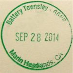
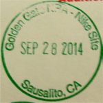
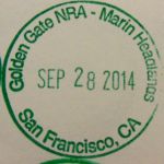
We returned back via the Miwok Trail for a nice 5-6 mile loop. Some of the trail was shared with mountain bikers, but there was room for all. We also saw several people enjoying the fact that most of the trails are also open to dogs. Unfortunately, we didn’t quite make it back in time to circle back to the Point Bonita Lighthouse, which is only open from 12:30-3:30 Sat-Mon. And of course these opening hours don’t coincide with those of the nearby Nike Missile Site, which is only open Thurs-Sat (so go Saturday between 12:30 and 3:30 if you want to hit up both!). I guess I still have some exploring to do in GGNRA – especially since I collected all the passport cancellations I could in the VC! (I appreciated hearing another family having the same dilemma I always do about whether they should stamp their book before hitting up the actual location on the stampgoga01)  goga07
goga14 goga15

goga22 goga23 goga24 goga25 goga26 goga21

Fall Weekend in Yosemite Valley

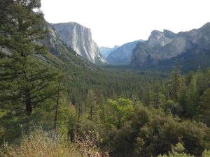
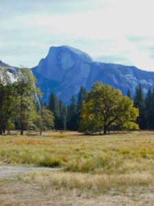
I couldn’t risk letting 2014 go by without a trip to Yosemite, especially in their 150th anniversary year! I’ve concluded that the number of people in Yosemite Valley in July/August is just too much for me, but as expected, this random weekend in October, while still pretty popular, was manageable and gave us a taste of what Yosemite has to offer in the fall. A partial taste since the weather was a little more on par with August with 85°F temperatures! California isn’t particularly known for our fall color, but Yosemite gives it our best shot! And while we didn’t have crisp fall air, we still got to see leaves swirling in the breeze through the Valley.

yose2_05

yose2_06


yose2_04
Take a deep breath and forget about the morning’s unpleasantness!

We tried to get an early start by driving up Friday night and staying at the Best Western in Oakhurst. Unfortunately, the breakfast waitstaff at the hotel restaurant had other ideas (we never were approached by a waitress – the hostess kept coming by and, noticing we hadn’t been helped, served us the whole meal. Two other parties were seated then simply left after being similarly ignored. Combine that with an offensive button worn by the lobby staff at checkout, and we’ll make this my first negative lodging review.) In spite of that, made it to the Valley Visitor’s Center by about 10:30-11.

yose2_07

yose2_14Our late start pretty much determined which trail we were going to hit up. I had been considering the 4-mile trail up to Glacier Point, but since we were getting into the midday heat, wasn’t sure that would be a very pleasant hike. It’s supposed to have excellent views of Yosemite Falls, perhaps not quite as impressive when it’s dry, so I’ll pocket that one for the spring. Time to explore Yosemite Valley on the Valley Floor Loop.yose2_10

yose2_11
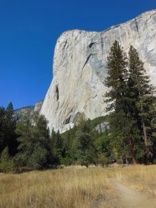
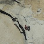
Climbers on El Capitan

The Valley Floor Loop Trail is a pretty self-explanatory 13-mile loop that starts around the bottom of Yosemite Falls at Camp 4 and passes a lot of famous Valley landmarks, such as El Capitan and Bridal Veil Falls. There’s an option to do a 6.5-mile half loop by cutting across to the other side using a bridge near El Capitan. As promised by the descriptions I read, we were almost alone the whole day on the trail except for when it intersected the parking areas for the major landmarks.

yose2_13

yose2_12
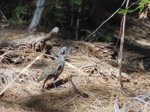
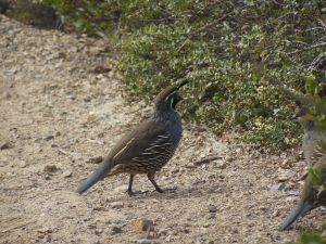
A mountain quail! I’ve seen plenty of California quail, but never one of these.

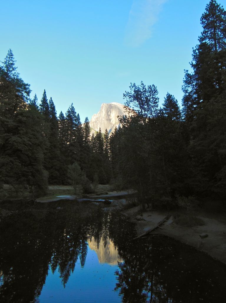
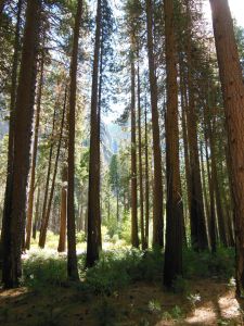
The only downside of the Valley Loop Trail is that it’s not that wide of a valley, so you’re never far from the park roads. On a Saturday, we could hear road noise pretty much the whole day. I will say, however, there is some satisfaction in exploring the Valley on your own two feet, even if you’re not exactly ditching civilization. Especially when you can enjoy the falling leaves and contrasting yellows and greens of the trees with the granite walls rising on either side of you!

yose2_17
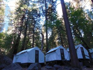
Had to sign disclaimers about Hanta virus to stay here… 5 weeks til we’re out of the incubation period!

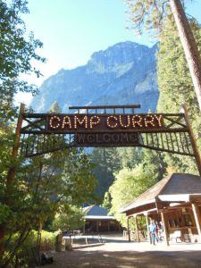
yose2_18We spent the evening in Curry Village, staying in the classic tent cabins. It may be the most expensive canvas scaffold you’ve ever stayed in, but the tent cabins have a rustic, old-school charm and are a lot easier than having to set up camp for a night. Plus, when your Fitbit reads 35,000+ steps, fresh-baked pizza and a cold, local beer (albeit at ballpark-level prices) on an outdoor deck never tasted so good! And just in case that doesn’t make up any calorie deficit, they also have delicious, enormous cinnamon rolls at the coffee stand in the morning.

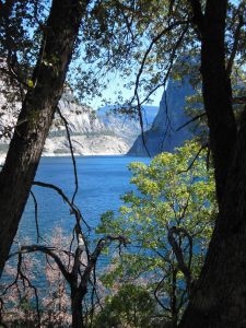
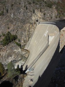
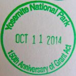
Sunday,yose2_21 we yose2_19headed back to the Bay Area, taking a detour to the Hetch Hetchy reservoir to visit our friendly local water supply. Driving out to Hetch Hetchy, we could see the evidence of last year’s Rim Fire, which started the week after our last Yosemite Trip (remind me to never again say “last chance to see the sequoia grove” while driving past!). O’ Shaughnessy Dam is a place where every good Bay Area citizen can come to feel conflicted about appreciating a stable, pristine water supply while wondering what was lost when Hetch Hetchy Valley was flooded to create the reservoir in spite of John Muir’s intense opposition. There are some trails around the reservoir, but with little tree cover and even higher temperatures than the day before, we decided to head into Groveland for some lunch at the Iron Door Saloon, the oldest continuously operating saloon in CA. Important note for stamp collectors – you have to ask for the Hetch Hetchy cancellation at the Entrance Station on your way in or out of the reservoir area as there is no official visitor’s center.

yose2_01 yose2_02 yose2_03