Since the hills are already turning brown (or golden) for the summer, here are some shots from hiking the Bay Area in April.
Pt. Reyes National Seashore, Tomales Point Trail:
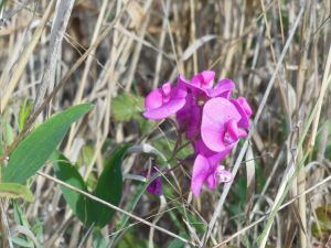
Wildflowers in the state and regional parks:
Since the hills are already turning brown (or golden) for the summer, here are some shots from hiking the Bay Area in April.
Pt. Reyes National Seashore, Tomales Point Trail:
Wildflowers in the state and regional parks:
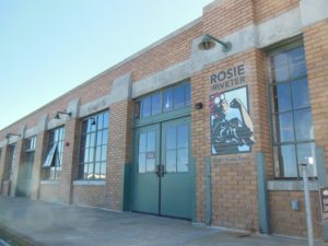 In August, we utilized one of our local Bay Area parks to check off #5 for the year. The Rosie the Riveter/WWII Home Front National Historic Park in Richmond honors the work of the women who worked in the Kaiser Shipyards during WWII.
This was actually my second visit to the site, both times tacking the visit onto a trip to the Mountain Hardware Employee Store after scoring an entry pass to stock up on some good activewear. The Rosie the Riveter Visitor’s Center is located at the site of a 1930 Ford Assembly Plant, a great old building that now houses businesses such as Mountain Hardware and a restaurant.
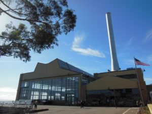 In the Visitor’s Center, there are great interpretive exhibits about the shipyards, the role of women in the workforce, and the town of Richmond. It was interesting to learn about how the town of Richmond expanded almost overnight and became a booming, diverse community, although not without its issues of discrimination. In addition to the main Visitor Center, there are a few other historical sites scattered throughout Richmond, including an original ship, that are a part of the Park.
The Richmond shipyards, owned by Henry Kaiser whose previous projects included the Hoover Dam, produced more than 700 ships during WWII. For those of us who have had health insurance through Kaiser Permanente, an interesting fact is that it started as the employee health plan for those who worked in the Kaiser shipyards. In the Visitor Center, you can try out a (bolted down) rivet gun, although it was broken this past visit.
I also enjoyed looking at all of the copies of wartime propaganda, including an example by Walt Disney and another that will make you think twice about not carpooling!
Unfortunately, both times I have been to the Rosie the Riveter site, I have had to leave before the talk given by Ranger Betty Soskin, the oldest NPS park ranger who shares her experience in the local community during WWII. I have heard it is a great talk from an amazing woman and hope to make it one day! We also just missed this year’s Rosie Rally, a community gathering of >2000 individuals in their best Rosie gear in a friendly competition with a town in MI to secure the Guinness World Record. Too bad because I’m not opposed to dressing my baby in a Rosie outfit for the cause!
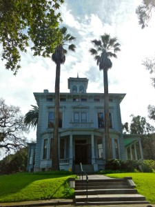
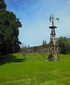 Well, I keep taking it down to the wire, but we did manage to get out to a National Park Service site the last weekend in February (even if I’m writing about it in March). Somewhat fitting for the NPS Centennial this year, we visited the home of one of the pivotal figures in the founding of the National Parks, John Muir. The site preserves the historic home of John Muir, Muir’s fruit orchards, and the Martinez adobe. Across the street, there are trails up “Mount Wanda”, named after one of Muir’s daughters, if you need to get your hiking fix.
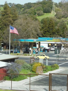 The John Muir NHS is just off of Highway 4 in Martinez, CA. A bit ironic that this tribute to one of the great naturalists is right across from a gas station and adjacent to a highway, but on the bright side, great to have his legacy preserved in this little patch of land. You enter the estate through the visitor’s center, where the rangers were very friendly and will play a video upon request (as will likely be a theme this year, we skipped the video since the baby was strapped in the carrier). On the timeline display, you can see some of Muir’s achievements (and “could-have-beens” – cool to see a small photo of Hetch Hetchy Valley).
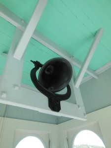 From there, it’s a short walk up the hill to Muir’s 3-story (+ bell tower!) home, which offers exhibits about Muir and the NPS on every floor. The rangers also lead a tour through the house (we were there on Sunday, and the talk was at 2). I learned that Muir was originally from Scotland and attended the University of Wisconsin before moving out West. He was relatively well-off and reportedly ran a good business off his orchards, which he inherited from his father-in-law. He spent several years in Martinez, later in life returning to spend more and more time in the Sierras with his conservation efforts. An older exhibit in the attic showcased his relationship with Teddy Roosevelt, cemented during one fateful camping trip together in Yosemite.
 The grounds are well-kept and include not only the fruit trees, but a little patch of redwoods and a giant sequoia planted by Muir himself. It is not quite as giant as the ones in their prime climate (or perhaps because it’s only ~100 years old?), but that didn’t stop one other visitor we saw hugging it 🙂 Many of the trees were blossoming on the day we visited, and according to the website, you’re free to pick a piece of fruit or two other times of the year. We packed a picnic and had a lovely lunch under the redwoods.
At the end of the estate, there is the Martinez adobe, built in 1849 and the oldest structure in Martinez. Inside, there is an exhibit about the Anza expedition (traced by the Juan Bautista de Anza National Historic  Trail). Sometimes you don’t really appreciate how historical events like this line up chronologically – the expedition, which was an attempt by the Spanish to gain a foothold in Alta California, coincided with the American Revolution in the 1776! Juan Bautista de Anza started in
 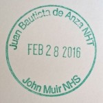 Mexico, crossed the Sonoran Dessert, and made his way to San Francisco. I don’t believe he made it up to Martinez, but the adobe highlights the influence of the expedition on local building styles.
.
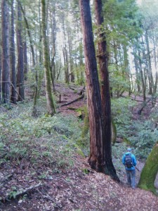 We’re back! After a little hiatus to welcome in the next generation of Parks & Lex, I decided I needed to celebrate the National Park Service Centennial in 2016 by visiting at least one NPS site each month this year. Of course, making this resolution the last week in January with a three-month-old at home (and with “Super Bowl City” potentially disrupting traffic in/through San Francisco) didn’t leave me too many options. But, it turns out that the southernmost portion of Golden Gate National Recreation Area is practically in my backyard in San Mateo County at Phleger Estate.
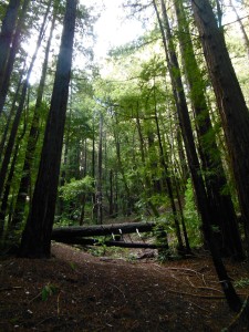
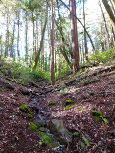 The estate, which was turned into a park in 1995, is a second-growth redwood forest with creeks running through it. There are a limited number of trails: two leading in from either edge connecting to a loop in the far corner. The directions to access the park suggest entering via Huddart Park, which connects to the Miramontes Trail. We opted to enter from Skyline Blvd., parking at the Purisima Creek parking area and walking to the Estate via the Skyline trail, which
 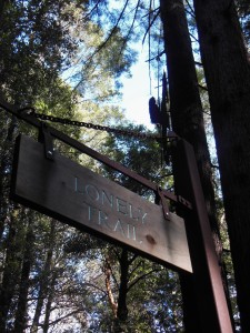 parallels the road. It’s about a half mile to Phleger Estate and another half mile to Kings Mountain. From there, we turned down the Lonely Trail. Once we turned away from the road, the trail was quite quiet –lonely, if you will — other than the occasional airplane overhead. The Lonely Trail then heads down the hillside, eventually meeting up with the other trails.
 Since this was my first time hiking with the baby (on the outside), we went another half mile to the creek and turned around, trying to pace ourselves for the walk back up the hill. I think it was about a 500-ft elevation change, but it felt like more to me! We also learned a lesson in dressing a baby for a fairly cold day in the redwood forest: While he was generally warm snuggled up against me, his legs and feet got pretty cold hanging out of the carrier. We went home and promptly ordered him some merino wool baby tights for the future, so we’ll see how those perform.
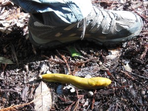

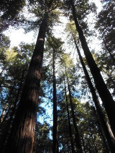 While we just barely qualified for my goal of 12 parks in 12 months, my favorite part of the hike was introducing the park to the little one. When I’ve taken him on walks around the neighborhood in the stroller, I’ve noticed him eying the trees as we passed by, so I couldn’t wait to show him the big (even the “young” ones) redwoods. I might be projecting my own enthusiasm, but I’d say he was impressed – and even spent some time cooing at the trees. Here’s hoping it’s the start of many future adventures!
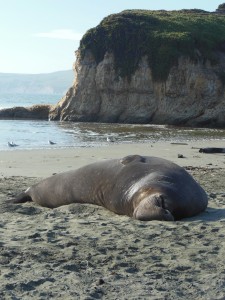
January is an important time of year at Point Reyes. This month not only marks peak season for grey whale migration but also is prime elephant seal breeding time. Being able to observe these two events is a popular draw for visitors, and the park runs buses to ease vehicle traffic to the lighthouse and wildlife viewing areas. I had tried to make the pilgrimage last year, but unfortunately, the one day we picked to make the drive up from the South Bay/Peninsula, the bus broke down blocking access to the road. So there was a year’s worth of anticipation around seeing the whales this year!
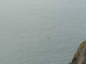
The Point Reyes lighthouse, extending far west into the Pacific Ocean, is reportedly one of the best places on the West Coast to see the Grey Whales as they make their journey from Alaska to Mexico. The fact that the whales can be seen from land was a big selling point for my seasick-prone self after the Dramamine didn’t quite do the trick on a humpback whale-watching expedition in Monterey Bay. At the lighthouse, volunteers help to spot and count the whales (and have binoculars onhand if you didn’t bring your own). We saw at least 5 or 6 whales in the time we spent at the lighthouse, including lots of water spouts and a couple tails. While there is a viewing platform above from which you can see the whales, you can also climb the 300+ stairs down to the historic lighthouse to get a closer look. One of the unexpected highlights of our visit was getting to see peregrine falcons and red-tailed hawks dotting the cliff areas around the lighthouse. I had never seen a peregrine falcon before, and they are gorgeous birds! We spent a lot of time watching one chase away two red-tailed hawks invading his territory.
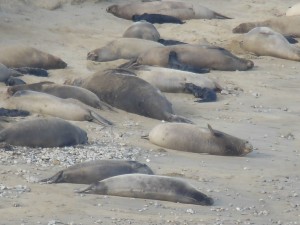
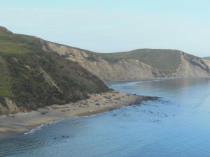 Just around the corner from the lighthouse, in Drakes Bay, dozens of elephant seals come to land to birth and breed, and their beach can be observed from a viewing area nearby. The same bus that goes to the lighthouse continues to the Chimney Rock Elephant Seal viewing area. Again, volunteers are available for help with viewing and as a great source of information. We saw a couple males with their “harems” and a lot of the little black babies, all born within the past week or two according to the volunteers.
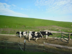
All in all, it was quite a successful day of wildlife watching. In addition to the animals above, we also got to see some deer and elk and some not-so-wild cows on the ride in toward the lighthouse. The area is home to several historic ranches that are still functioning. We got to taste the results by stopping in to pick up some Cowgirl Creamery cheese at Tomales Bay Foods in Point Reyes Station on our way out.
 This was the first time I’ve visited a site run by the National Park Service and forgot my passport book! I did stamp the cancellation and lighthouse stamp on a piece of scrap paper, and it turns out they are the same ones I picked up last year at the other
  visitor’s
 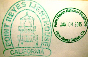 center in the park.
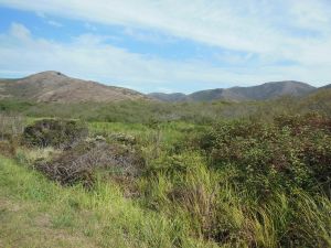
Since snow squashed my plans for an introductory backpacking trip in the mountains a few weeks back (the one weekend EVER I have backpacking plans, we get early season snow in the middle of a drought!), I resolved to at least hit the local trails and took a lovely hike in the Marin Headlands of Golden Gate National Recreation Area.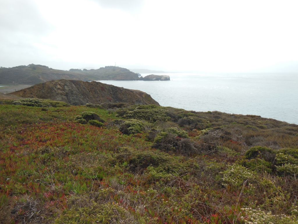
GGNRA spans several sites in San Francisco and just across the Golden Gate Bridge in Marin County. I hadn’t spent any time out in the Marin Headlands since high school band camp at the YMCA Point Bonita. One thing I’ll never forget from that time – make sure to use the sunscreen and stay hydrated to help prevent windburn (does hydration actually help or did I make that up? Certainly doesn’t hurt…).
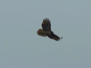
Our first stop on the drive in was “Hawk Hill”. From this vantage point, which also offers pretty decent views back toward the Golden Gate Bridge, volunteers from the Golden Gate Raptor Observatory were out in full force monitoring the autumn raptor migration. I was pretty amazed at their ability to spot, track, and identify hawks and falcons from miles away. I have a good pair of binoculars, but half the time I couldn’t even find the birds they were tracking, much less even tell the basic differences between Accipiters and Buteos. When I could spot the birds, however, it was nice to have my own panel of experts behind me to tell me what I was looking at.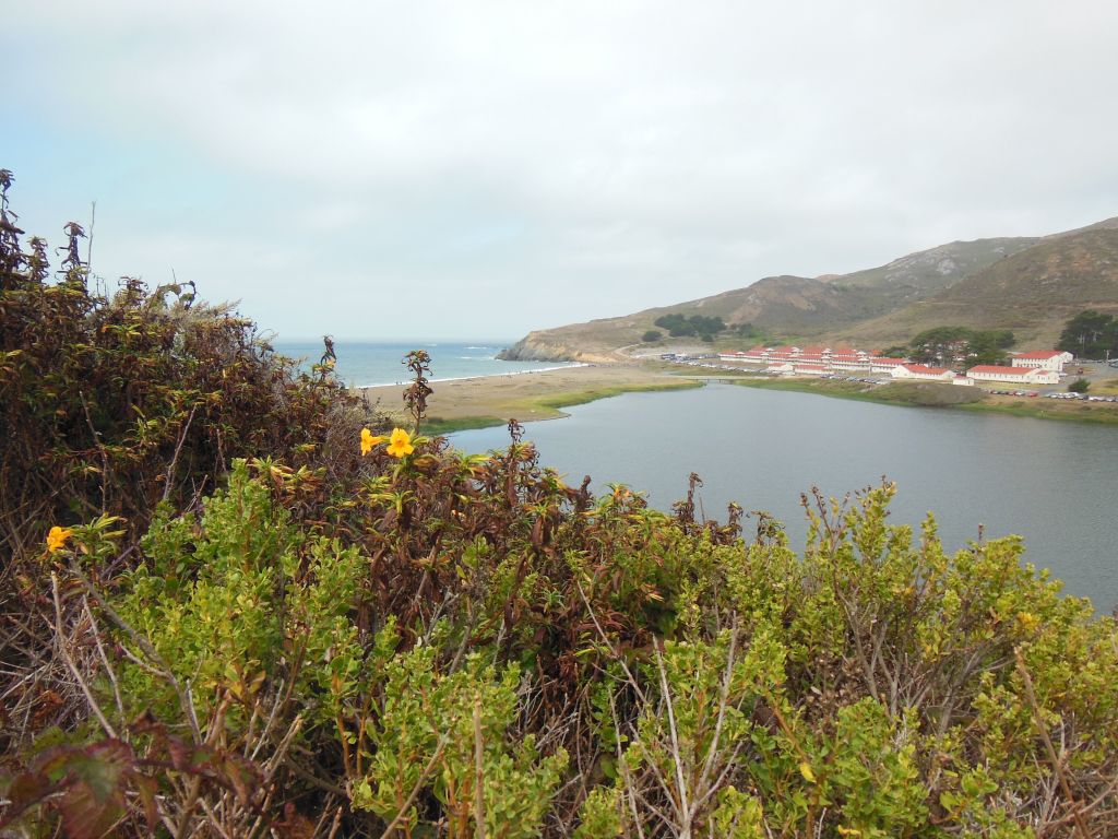
The Marin Headlands area, like much of GGNRA, was used for coastal military installations in the 1930s and 40s, and one of the features of the park is the old forts and batteries scattered throughout the hills. We parked at the Visitor’s Center in what I assume is an old Chapel near Fort Cronkhite and started our walk at Rodeo Lagoon, also reportedly a good spot for 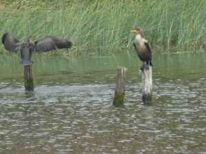
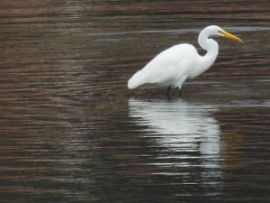 watching the number of bird species native to or migrating through the area. You can even pick up a bird checklist at the VC. While the distant raptors were a bit of challenge, I had better luck identifying some of the more common (and slower moving!) birds found near the beach and lagoon.
The Lagoon ends at Rodeo Beach, also accessible from the Fort Cronkhite parking lot, and from there, we hiked up the Coastal and Wolf Ridge Trails to Hill 88. The path leads you past Battery Townsley, with an old 16-in gun on 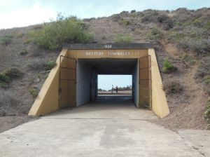
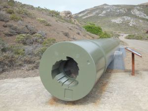 display to demonstrate the coastal defense capabilities. The Top of Hill 88 had great views in all directions, even on a partly cloudy day. That is assuming you are not blinded by the shockingly ugly chartreuse-y color of the old abandoned buildings up there.
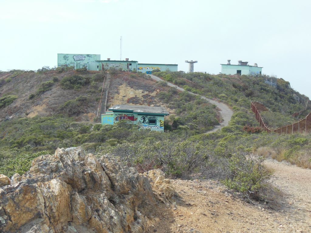
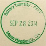
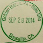
We returned back via the Miwok Trail for a nice 5-6 mile loop. Some of the trail was shared with mountain bikers, but there was room for all. We also saw several people enjoying the fact that most of the trails are also open to dogs. Unfortunately, we didn’t quite make it back in time to circle back to the Point Bonita Lighthouse, which is only open from 12:30-3:30 Sat-Mon. And of course these opening hours don’t coincide with those of the nearby Nike Missile Site, which is only open Thurs-Sat (so go Saturday between 12:30 and 3:30 if you want to hit up both!). I guess I still have some exploring to do in GGNRA – especially since I collected all the passport cancellations I could in the VC! (I appreciated hearing another family having the same dilemma I always do about whether they should stamp their book before hitting up the actual location on the stamp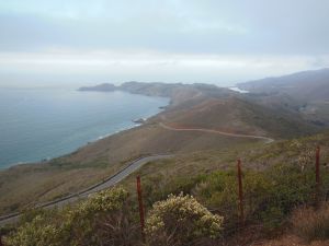 )
) 


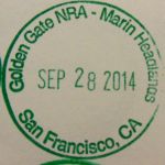
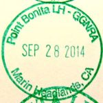
I’ve been utterly failing at getting out to any parks this summer, so two weekends ago I was determined to at least hit up one of the NPS sites in the greater Bay Area on a day of hiking. I opted to go get my Passport stamps for Muir Woods in Marin County, in spite of knowing that summer weekends would bring crowds. 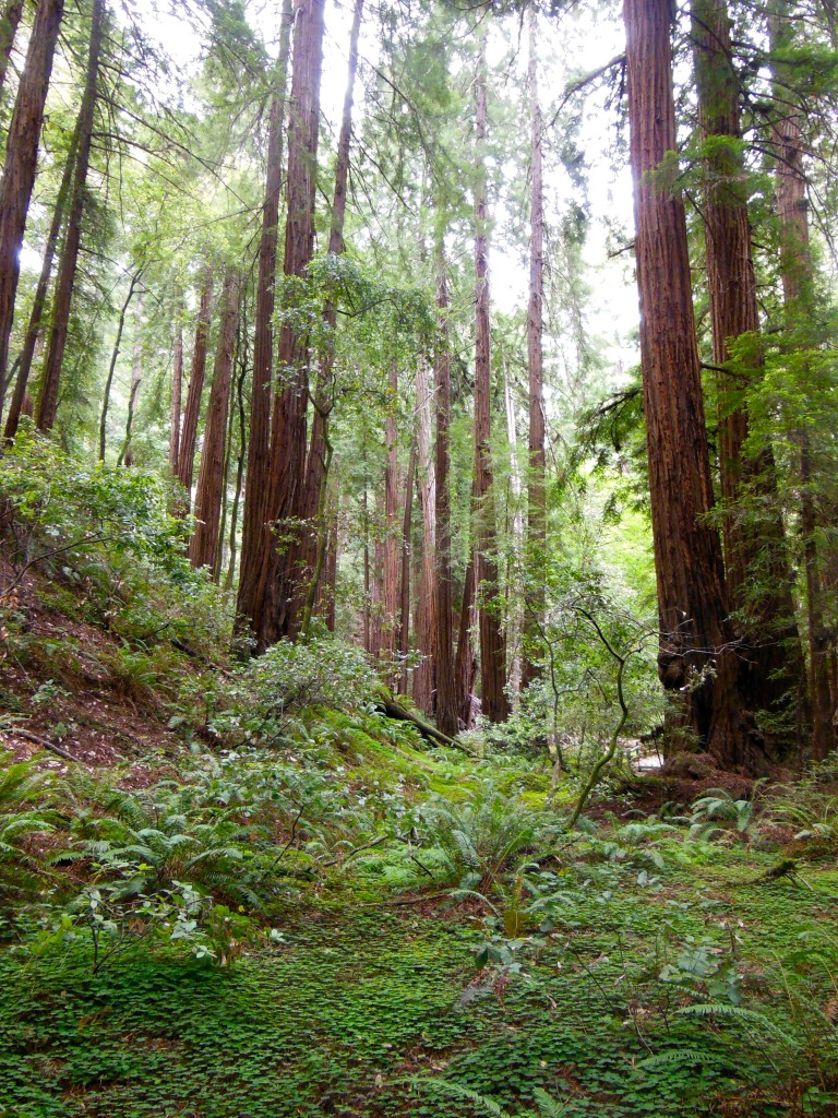
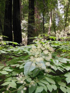 Muir Woods is a beautiful example of a California redwood forest, with coast redwoods lining a shaded creek surrounded by ferns and a blanket of redwood sorrel. Unfortunately, it is also THE place for people touring CA to get a quick giant tree fix, so you get the trees without the tranquility. There are certainly better places to lose yourself in nature, including redwoods, but the scenery is still able to impress (and as you can see, I managed to get a few pictures without people in them!). Other highlights of the Monument (which likely also contribute to its popularity) are the educational programs and the boardwalked trails through the center of the park, which both protect the woods floor while also making the park more accessible to all visitors.
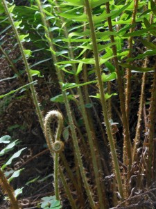
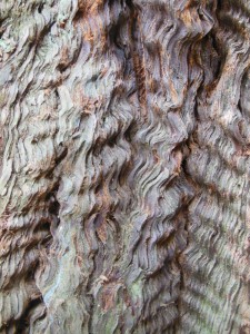
 If you must visit Muir Woods during summer weekends (as I apparently had to), it is highly recommended that you take the Muir Woods Shuttle (follow signs from the freeway). Another option if you are planning on doing more than just the boardwalk is to hike into the Woods from Mt. Tamalpais State Park. There are several options here: From the Mountain Home Inn, you can take the Panoramic and Ocean View trails into Muir Woods or follow Alice Eastman Road down to the Plevin Cut and Camp Eastwood trails.
We opted for a longer hike from the 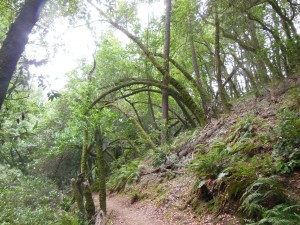 Pantoll Ranger Station, starting with the Stapelveldt and Ben Johnson trails and returning via Bootjack and Alpine. Up at the ranger station, it was all blustery fog and moss-covered trees, but we quickly lost the wind heading down the back side of the hill and had a pretty solitary hike until we got closer to Muir Woods. As you descend, you can see the redwood forest develop as you get further down into the watershed – it’s really quite a nice way to approach! All together, it ended up being about 8 miles and 4 hours, including some meandering about the visitor’s
 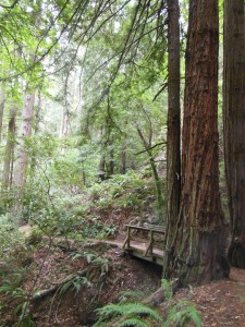 center and a stop on the trail for some lunch.
Of course the only 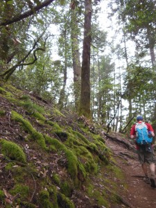 problem with doing the hike this way is that the uphill is all on the way back! Using the TCC trail as a connector, you could do the loop we did from the end of the Muir Woods trail if you prefer to do the uphill first. My fitbit logged 147 flights of stairs – I was highly tempted to go up and down the stairs at my apartment 3 more times when I got home, but my knee was hurting from all the downhill hiking.
Back in Mill Valley, where Highway 1 turns up toward Mt. Tam, we stopped at the Dipsea Cafe for a late lunch and a much-deserved Mt. Tam Pale Ale from Marin Brewing!
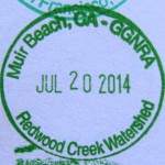
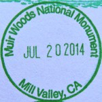
W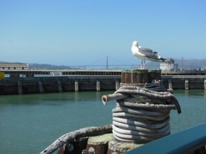 hile I’m always scheming my next national park getaway, the truth is I still have NPS sites to visit here in my own backyard in the Bay Area. Earlier this spring, I took advantage of a nice sunny day to check out the San Francisco Maritime National Historic Park in the Fisherman’s Wharf area. This part of town caters to the tourist crowd, but crowds and T-shirt shops aside, I do enjoy the occasional cable car ride or visit to Ghirardelli Square for an over-the-top ice cream sundae 🙂
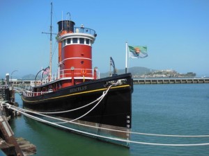
The main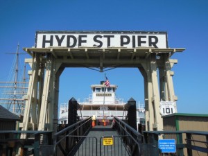 visitor center for the historic park is in a brick cannery building on the corner of Hyde and Jefferson. Inside, they have multimedia exhibits highlighting the importance of maritime trade and travel in the city’s history and some fun facts about the city. For example, I learned that the MUNI tunnel under Market St. actually goes right through the middle of a Gold Rush-era ship, one of many buried under the financial district. The visitor’s center also has information on other Bay Area and CA national park sites if San Francisco is just your first stop. Across the street from the visitor’s center is the historic Hyde Street Pier, where you can tour historic ships and other exhibits.
Before hopping on that cable car, it’s nice to walk along the beachfront around to the municipal pier side of the park. Across from Ghirardelli Square is the Aquatic Park Boathouse and Maritime Museum. This Depression-era building is used for events and as a senior center in addition to being a small museum associated with the park. It’s worth poking your head in to check out the art deco design, the WPA murals, and the model ships (and there is a bonus stamp of a ship for your Passport book in addition to the park stamp).
If you continue past the municipal pier, you can take the Bay Trail around (or go up and over the hill) to Fort Mason. Fort Mason is technically part of Golden Gate National 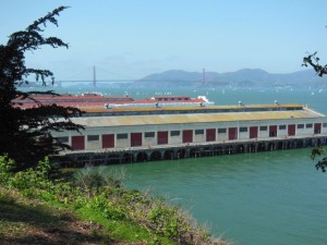 Recreation Area, but it also houses the Maritime Park Library (open weekdays). It seems like there’s almost always something going on whenever I’m there, whether it is a farmers market, a food truck meet-up, or a craft [beer/chocolate/distilling] expo, and the buildings also house shops & restaurants (including the famous vegetarian restaurant Greens).