 In my last post, I featured spots in Sequoia National Park, but it turns out, Kings Canyon holds its own when it comes to giant sequoias in addition to having gorgeous valleys, granite canyons, and meadows.
Grant Grove
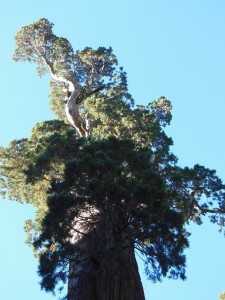
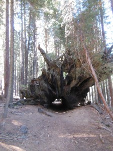
Grant Grove is just north of the Big Stump Entrance on CA 180 from Fresno. It is home to the famous “General Grant” tree, wider at its base than General Sherman and named after Ulysses S. Grant, who was of course still kicking when this giant tree was named. There is a short interpretive trail in the area around General Grant where you can walk through the Fallen Monarch that was used as a shelter and saloon in the 19th century, but of course this is one of the spots in the park where you get big crowds of people. The Grant Grove area contains a visitor’s center, market, lodging, and camping. I’ll admit, the restaurant makes good pizza if you happen to be out hiking longer than you expected and don’t feel like cooking at camp!
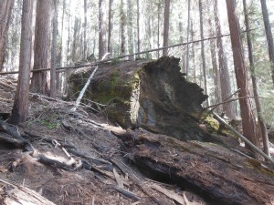
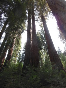
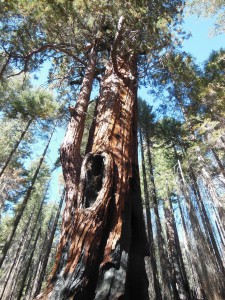
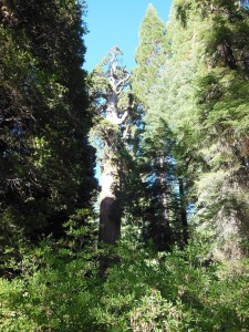
Redwood Mountain is the largest sequoia grove in the world and (since the parking area is 2 miles down a windy dirt road) a great way to enjoy the sequoias in relative solitude on a day hike. We encountered just a handful of other hikers and a few families backpacking in the canyon, and there was evidence that horses also use the trail. There are two 6-7-mile loops that both cut back down the creek in the center, or you can combine the loops for a ~10-mile larger loop. There is a 1100-1400 gain over either route, but it was relatively gradual. We started along the central creek trail then turned left to take the Hart Tree and Fallen Goliath Loop — and almost managed to miss both landmarks! You can see the picture of what we thought the Fallen Goliath sign was pointing toward, but we were under the impression it should have been bigger. I did find a local news article from April of this year about a fire in the Fallen Goliath, but no other sources confirmed that a fire might have consumed a majority of the tree. It’s possible we just missed it. A mystery!
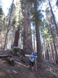
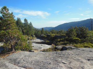
We were just thinking we may have also missed the Hart Tree, one of the 25 largest sequoias, when we encountered another hiker with his 5-year-old son on his first backpacking trip (kid has me beat!) also looking for the Hart Tree. After consulting his map, we turned around and found the tiny little sign pointing to the tree right behind us! It just goes to show how impressive all the sequoias are when you keep having “no, that one is the biggest tree I’ve ever seen!” moments around every corner…
Cedar Grove Area
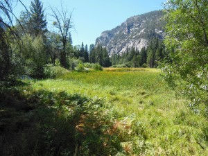
If you  continue East on 180 instead of heading south on the Generals Hwy, you’ll drive down the canyon walls into Cedar Grove and the section of the park that follows the Kings River deeper into Kings Canyon. This area houses the other large campgrounds within Kings Canyon, a visitors center near the campground (where you can find the passport cancellation), and an additional information stand at the aptly named Road’s End. From Road’s End, you can continue on foot 2-3 miles down either side of the river to a bridge. From the bridge, you can return to Road’s End the way you came or down the other side, head up the hill for Mist Falls (apparently “still misting away” this time of year) or head up the Bubb’s Creek Trail to the left.
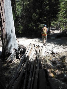
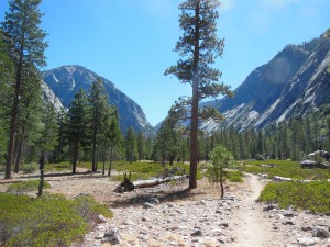
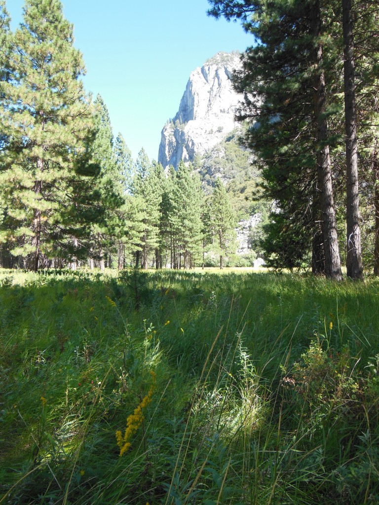
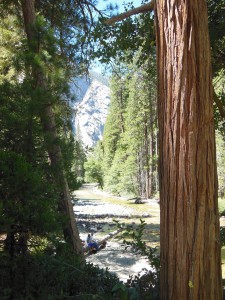 We opted to go out and back just to the bridge along the trail on the south side of the river. According to the ranger we talked to, the north side trail is shorter, but a bit more rocky and exposed, while the south bank wound through trees and was much quieter. Remember the bug spray, though, unless you particularly like breathing in gnats! From where this trail cuts back to the Road’s End parking lot, you can also continue to Zumwalt Meadow (also directly accessible from the road), a beautiful breezy meadow fluttering with butterflies that has trails and boardwalks for all walkers/hikers.
