Since snow squashed my plans for an introductory backpacking trip in the mountains a few weeks back (the one weekend EVER I have backpacking plans, we get early season snow in the middle of a drought!), I resolved to at least hit the local trails and took a lovely hike in the Marin Headlands of Golden Gate National Recreation Area.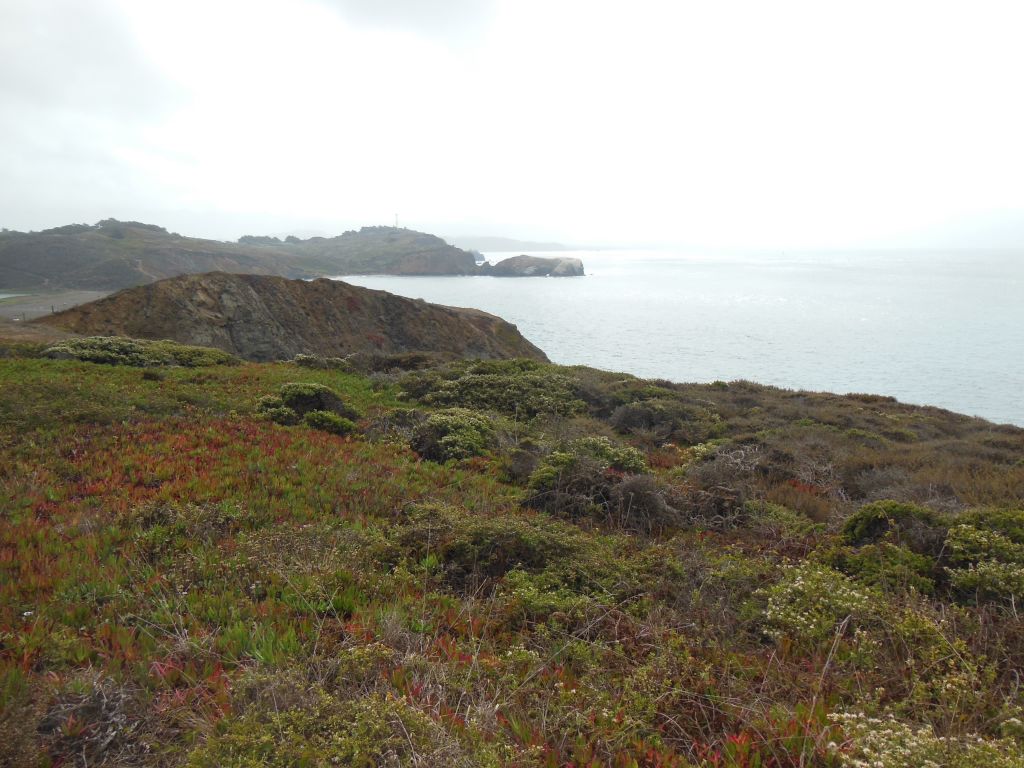
GGNRA spans several sites in San Francisco and just across the Golden Gate Bridge in Marin County. I hadn’t spent any time out in the Marin Headlands since high school band camp at the YMCA Point Bonita. One thing I’ll never forget from that time – make sure to use the sunscreen and stay hydrated to help prevent windburn (does hydration actually help or did I make that up? Certainly doesn’t hurt…).
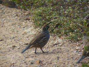
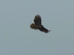
Our first stop on the drive in was “Hawk Hill”. From this vantage point, which also offers pretty decent views back toward the Golden Gate Bridge, volunteers from the Golden Gate Raptor Observatory were out in full force monitoring the autumn raptor migration. I was pretty amazed at their ability to spot, track, and identify hawks and falcons from miles away. I have a good pair of binoculars, but half the time I couldn’t even find the birds they were tracking, much less even tell the basic differences between Accipiters and Buteos. When I could spot the birds, however, it was nice to have my own panel of experts behind me to tell me what I was looking at.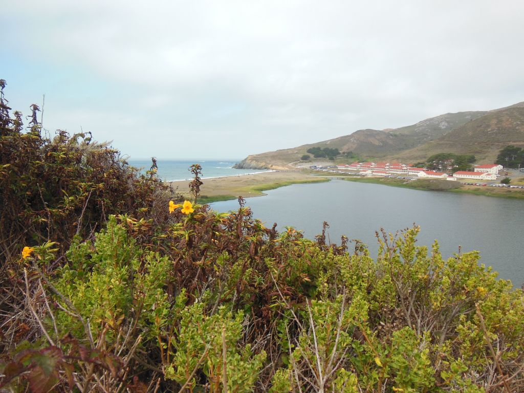
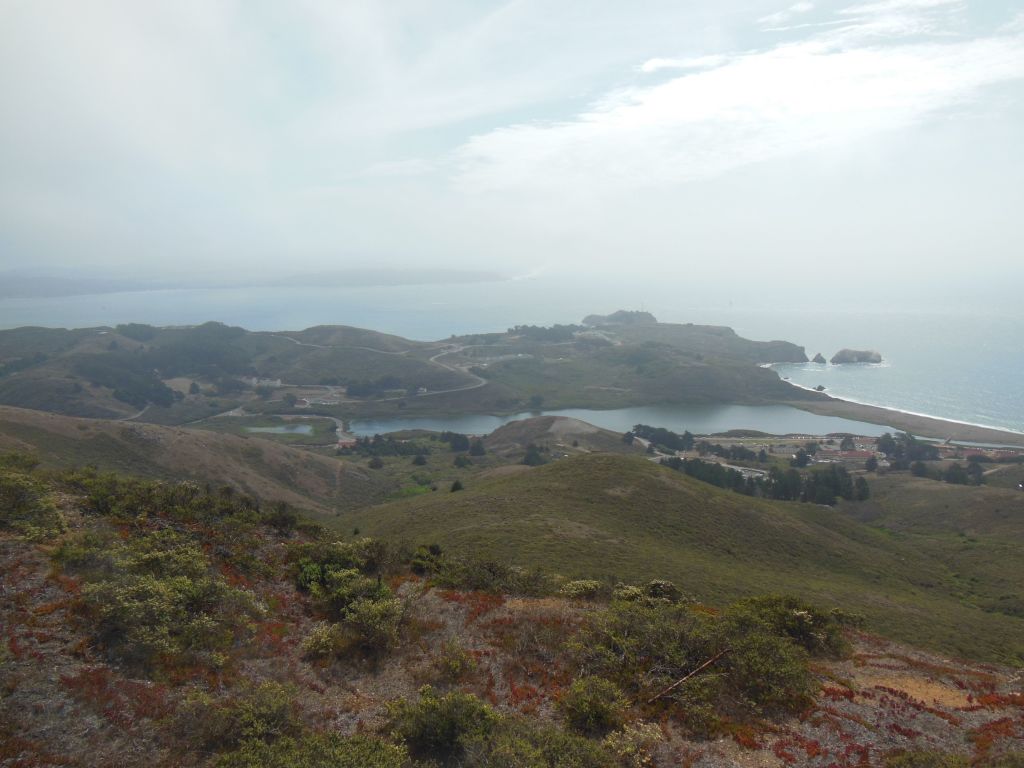
The Marin Headlands area, like much of GGNRA, was used for coastal military installations in the 1930s and 40s, and one of the features of the park is the old forts and batteries scattered throughout the hills. We parked at the Visitor’s Center in what I assume is an old Chapel near Fort Cronkhite and started our walk at Rodeo Lagoon, also reportedly a good spot for 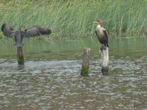
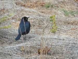
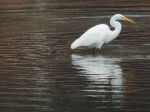 watching the number of bird species native to or migrating through the area. You can even pick up a bird checklist at the VC. While the distant raptors were a bit of challenge, I had better luck identifying some of the more common (and slower moving!) birds found near the beach and lagoon.
The Lagoon ends at Rodeo Beach, also accessible from the Fort Cronkhite parking lot, and from there, we hiked up the Coastal and Wolf Ridge Trails to Hill 88. The path leads you past Battery Townsley, with an old 16-in gun on 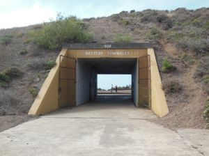
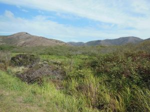
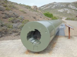 display to demonstrate the coastal defense capabilities. The Top of Hill 88 had great views in all directions, even on a partly cloudy day. That is assuming you are not blinded by the shockingly ugly chartreuse-y color of the old abandoned buildings up there.
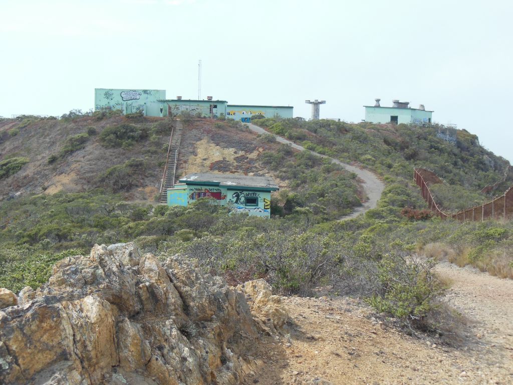
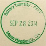
We returned back via the Miwok Trail for a nice 5-6 mile loop. Some of the trail was shared with mountain bikers, but there was room for all. We also saw several people enjoying the fact that most of the trails are also open to dogs. Unfortunately, we didn’t quite make it back in time to circle back to the Point Bonita Lighthouse, which is only open from 12:30-3:30 Sat-Mon. And of course these opening hours don’t coincide with those of the nearby Nike Missile Site, which is only open Thurs-Sat (so go Saturday between 12:30 and 3:30 if you want to hit up both!). I guess I still have some exploring to do in GGNRA – especially since I collected all the passport cancellations I could in the VC! (I appreciated hearing another family having the same dilemma I always do about whether they should stamp their book before hitting up the actual location on the stamp )
) 